For years, if not decades, I had wanted to visit Devil's Town (Đavolja Varoš). But every time the subject came up, I was told that getting there required walking 7–8 km each way. Walking through nature has never really been a problem, especially when I was in better shape, but no one I knew ever organised a trip there and I myself had never travelled to that part of Serbia.
This time, while I was staying in Blace, I decided to finally change that. First, I found out that there is actually a parking lot from which it is only about 800 m to the Devil's Town site. Then, while I was still in Belgrade, I asked Sonja if she would be interested in this little excursion and she immediately agreed. It turned out that Jasna had had the very same idea, while Tanja, the only one of the four of us who had already been there before, needed no convincing at all. So, everything fell perfectly into place.
And so, after visiting the Ajdanovac Monastery, the four of us continued south by car, passing also through Kuršumlija, a town that really deserves a visit of its own. About 65 km from the Ajdanovac Monastery, we arrived at the parking area, where there is also a large entrance gate through which visitors continue on foot towards the Devil's Town site and the protected natural area.
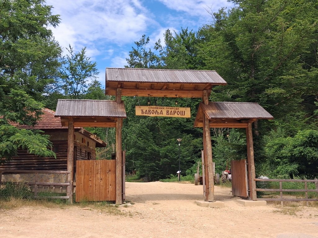 Đavolja Varoš, a detail
The four of us passed through the gate and reached the area where tickets and official souvenirs are sold, and where there is also a restaurant. From there, we continued on towards Devil's Town itself.
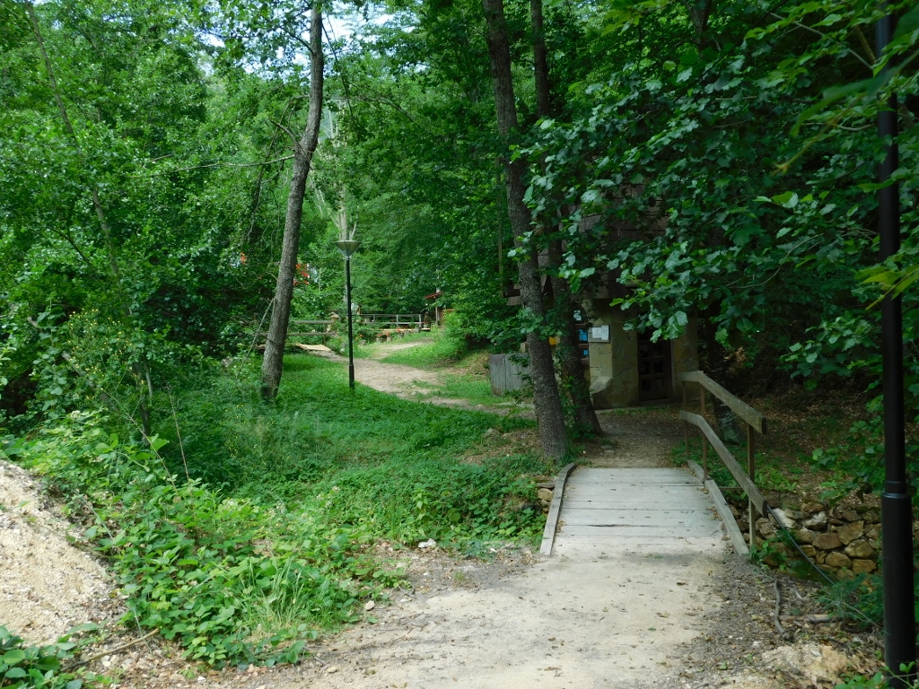 Đavolja Varoš, a detail
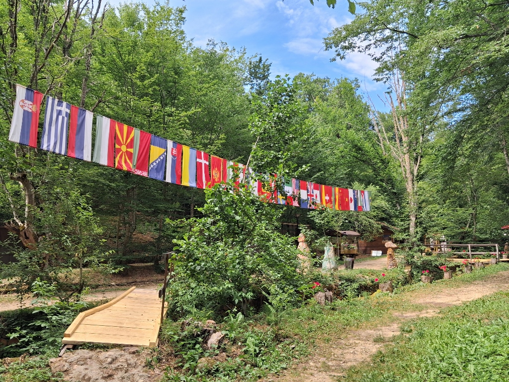 Đavolja Varoš, a detail
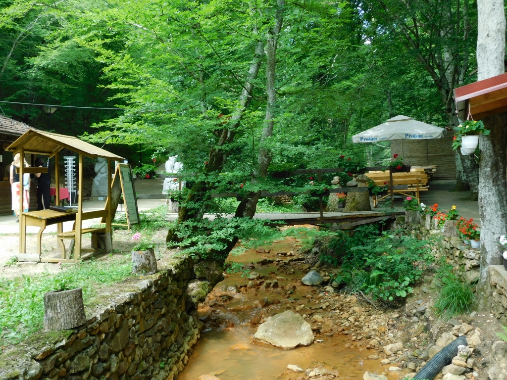 Đavolja Varoš, a detail
At first, the path is paved with concrete, but only for a very short distance. It soon gives way to wooden footbridges and a simple dirt trail winding through the forest, while numerous sculptures can also be seen along the way.
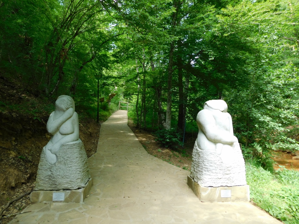 Đavolja Varoš, a detail
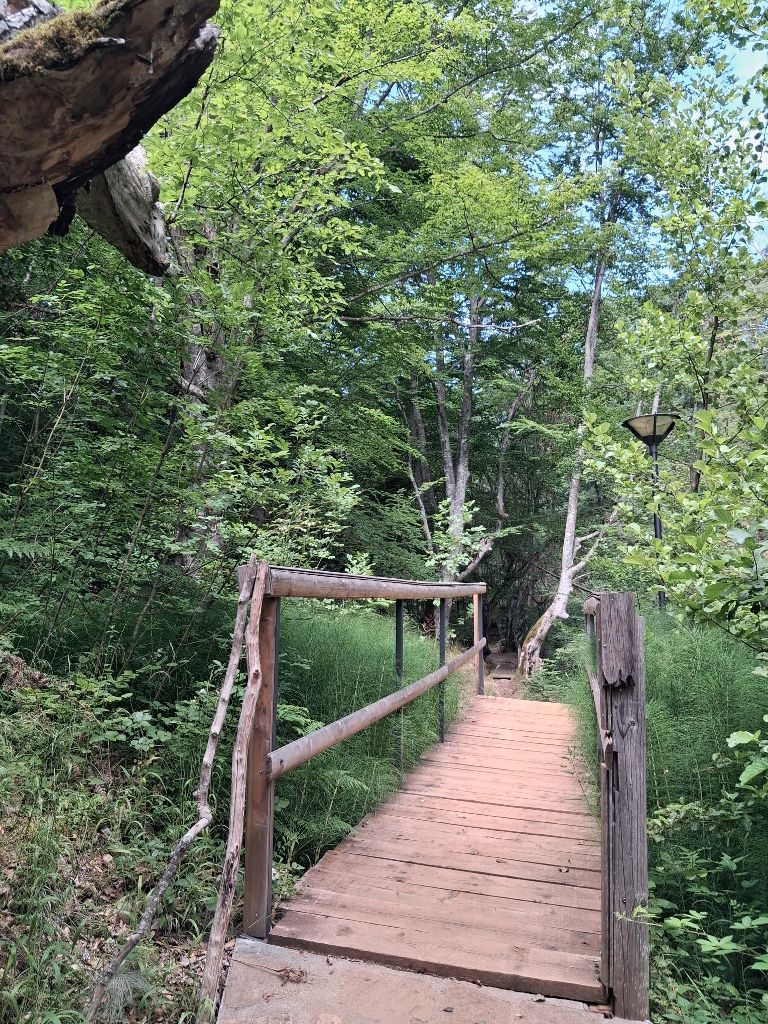 Đavolja Varoš, a detail
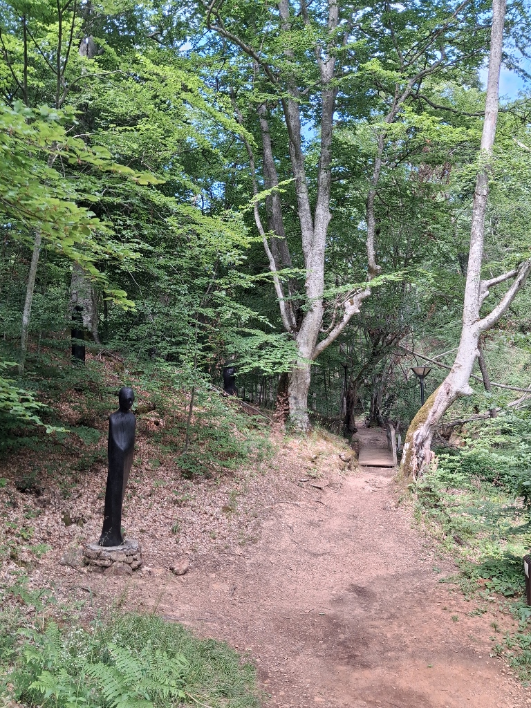 Đavolja Varoš, a detail
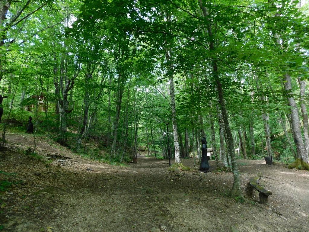 Đavolja Varoš, a detail
But first, let me first say a few words about this remarkable site.
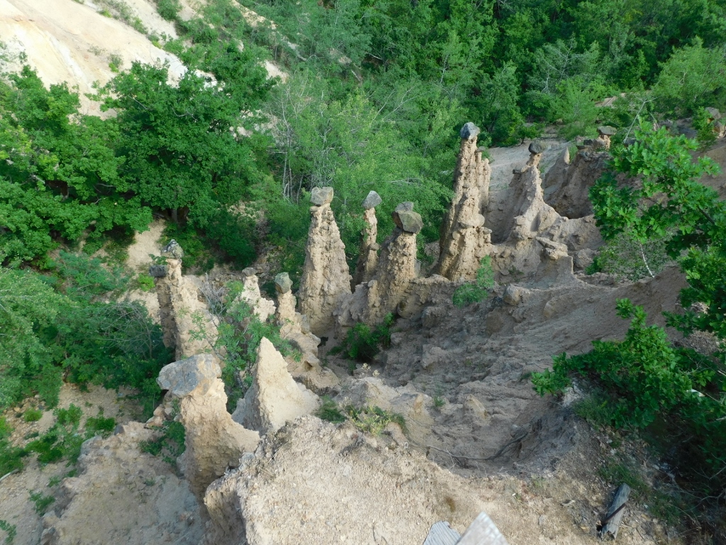
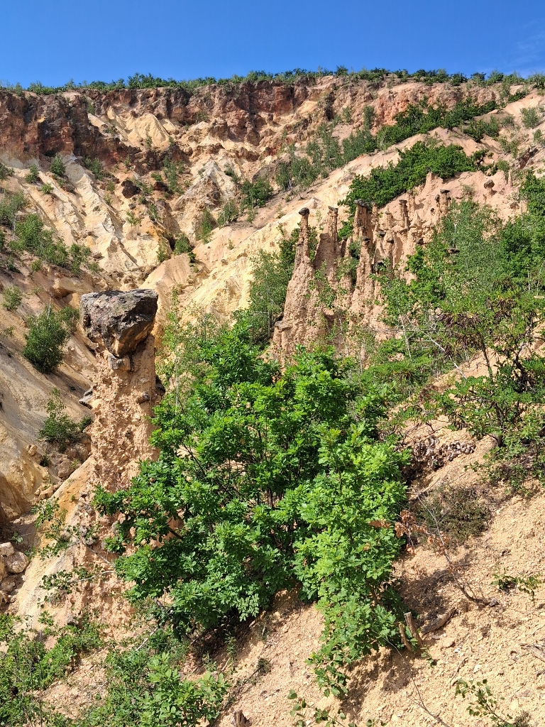
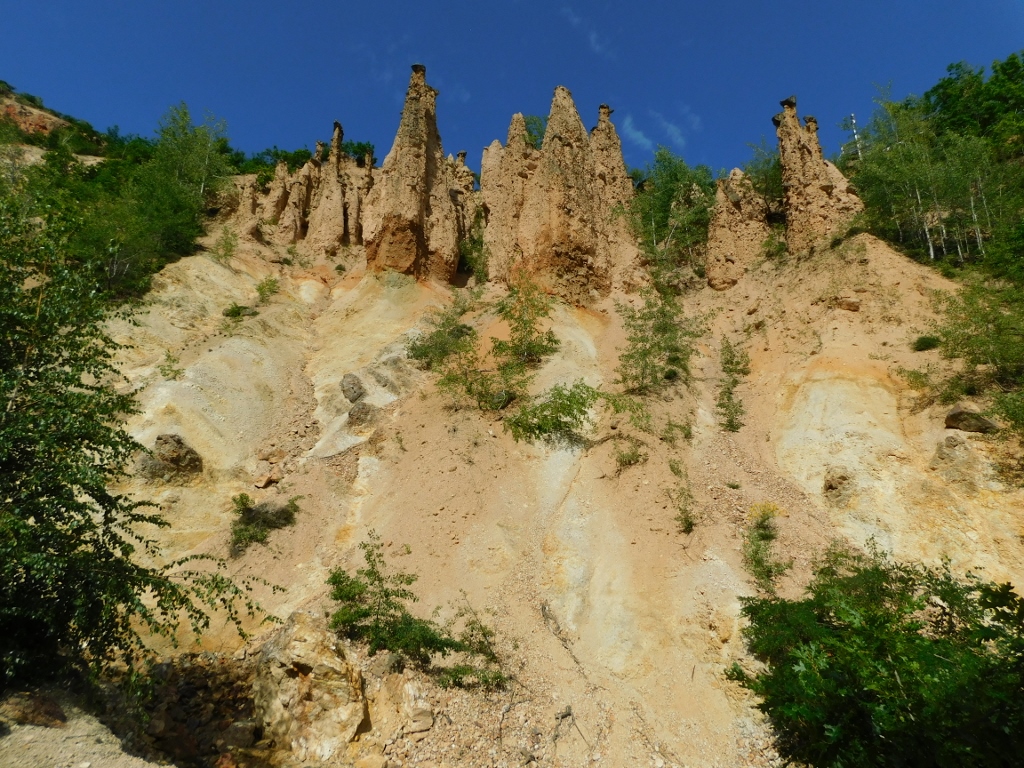
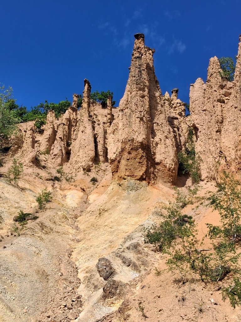
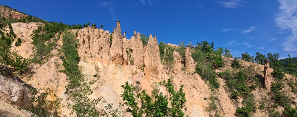
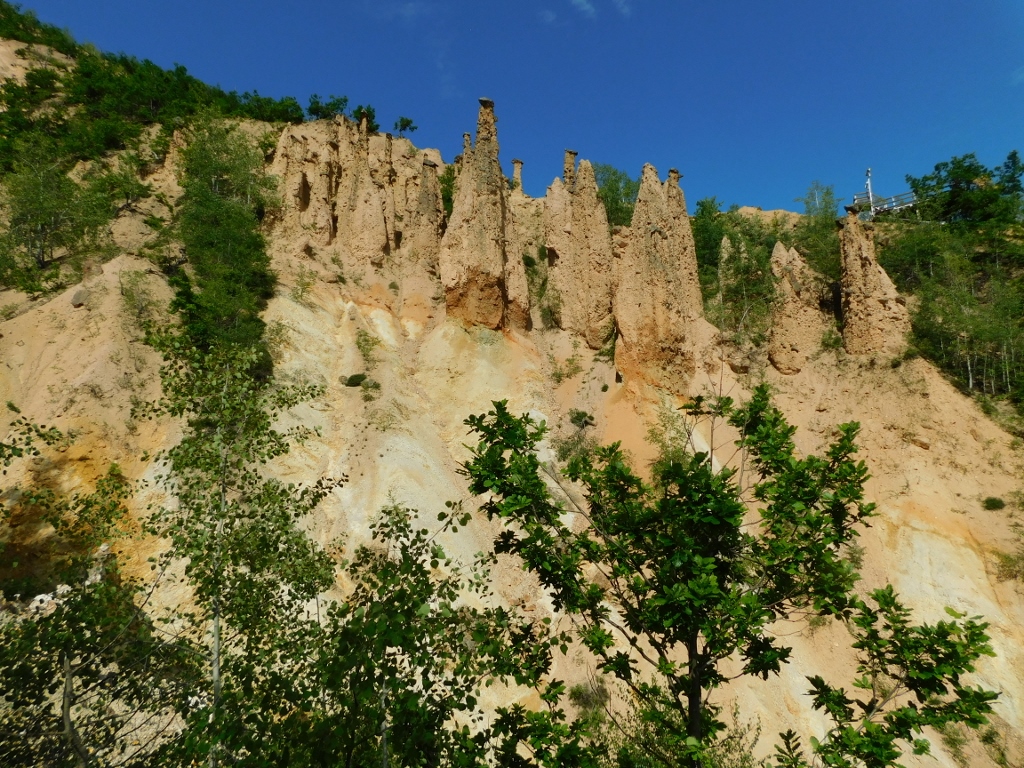
Đavolja varoš or Devil's Town is one of Serbia's most famous natural phenomena and it is located on Mount Radan, near the town of Kuršumlija. This unique site is renowned for its more than 200 earth-stone pillars, ranging in height from 2 to 15 m, which were formed over time by the natural process of erosion. At the top of most pillars sits a large rock that protects the earthen column beneath it from being washed away, creating their distinctive appearance. Albeit very slowly, erosion continues to shape these formations even today, gradually altering their appearance under the influence of natural forces.
Because of its exceptional beauty, geological significance and scientific value, Devil's Town has been designated a protected natural monument. It also represented Serbia in the international New 7 Wonders of Nature campaign. Although it did not make it into the final seven, the nomination significantly increased the site's international recognition.
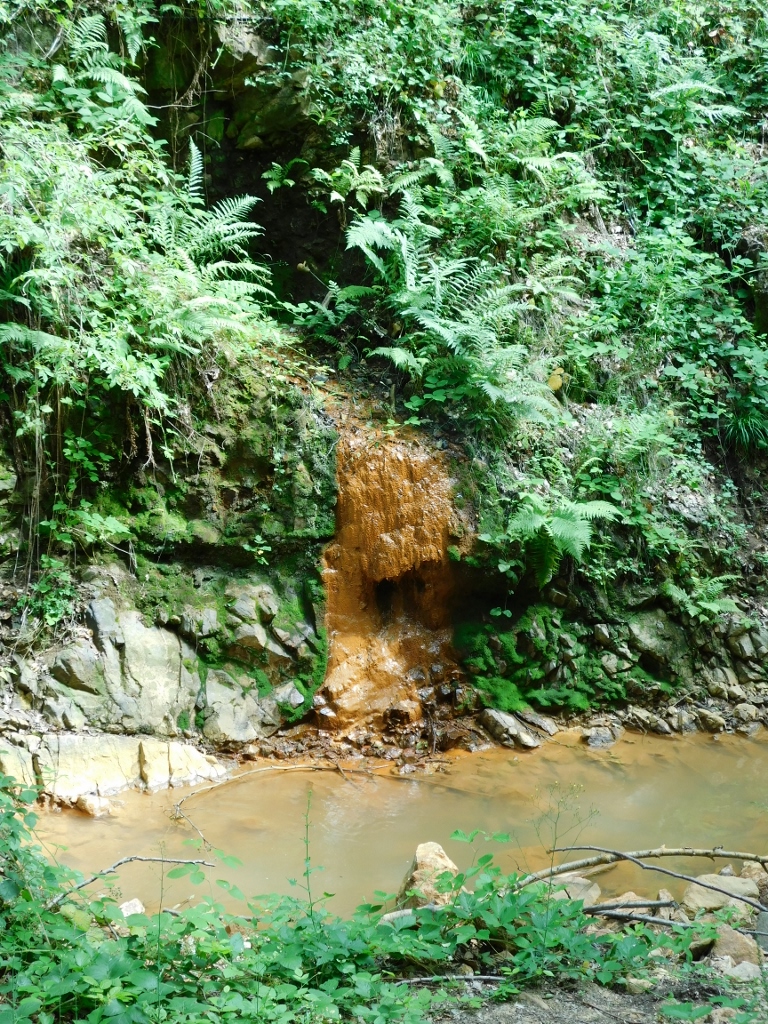
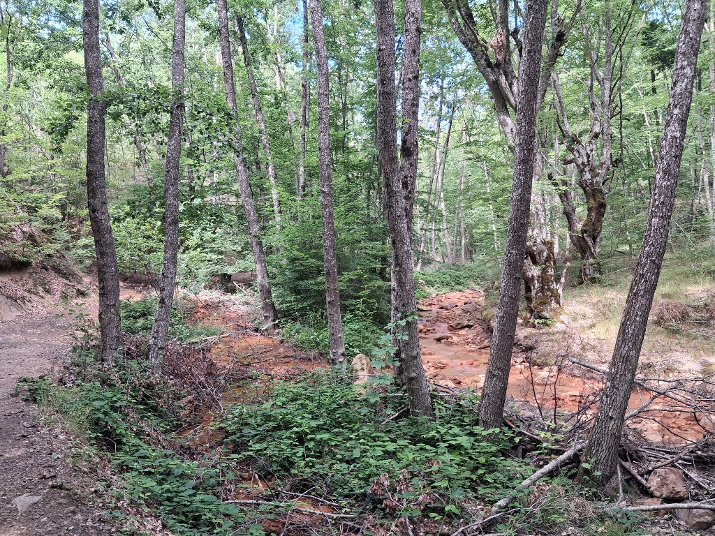
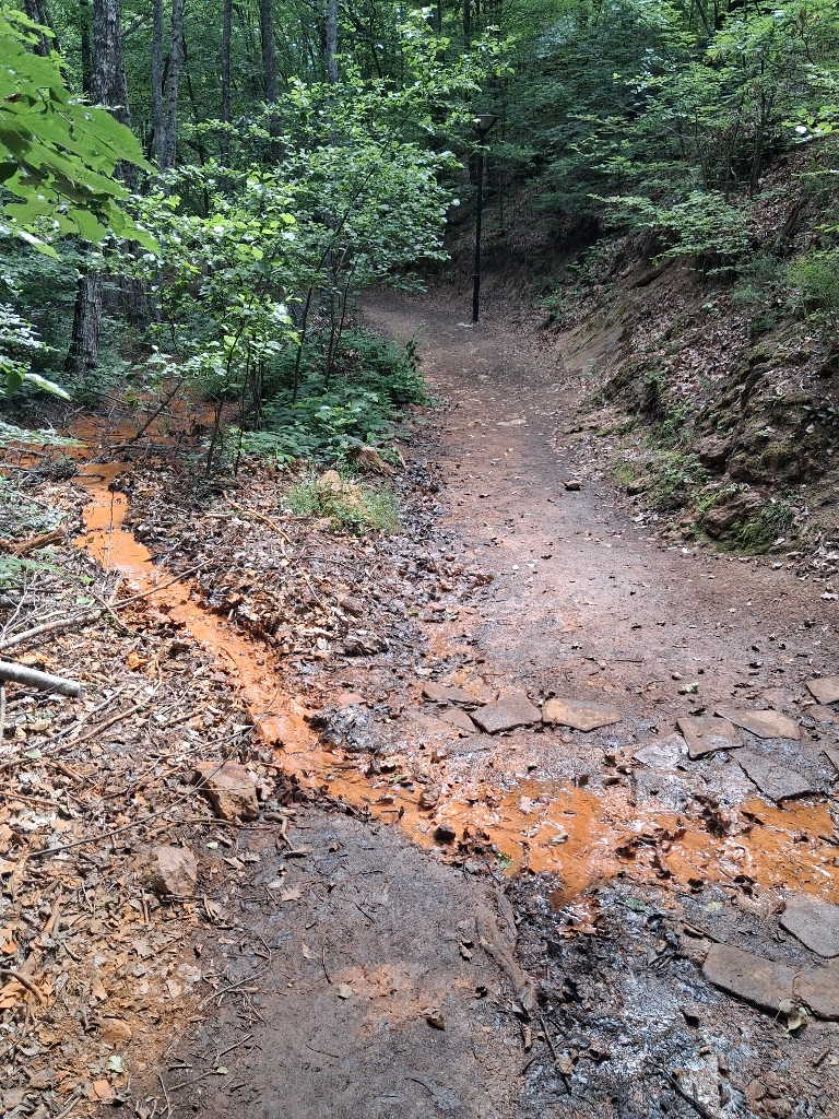
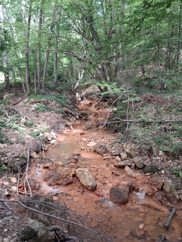
However, Devil's Town encompasses more than just the famous rock formations. To begin with, the visitor trail follows the course of the Yellow Stream (Žuti potok), the water of which truly has a yellowish-orange to reddish colour. This is not the result of pollution, but rather a natural consequence of the area's unique geological composition.
The water that springs at Devil's Town is exceptionally acidic. One of the springs, known as Devil's Water, has a pH of around 1.5, making it one of the most acidic natural springs in Europe. This is a consequence of ancient volcanic activity. At the same time, the water contains very high concentrations of dissolved iron, aluminium, sulphur and other minerals.
When this water reaches the surface and comes into contact with the air, the iron undergoes a chemical reaction, producing natural iron oxide – essentially rust. This mineral deposit coats the rocks, the streambed and the surrounding soil, giving the water and the sediment their distinctive yellow, orange and reddish hues.
 Đavolja Varoš, a detail
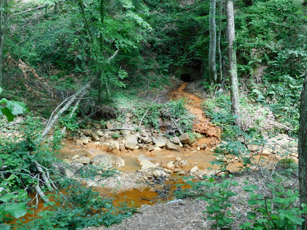
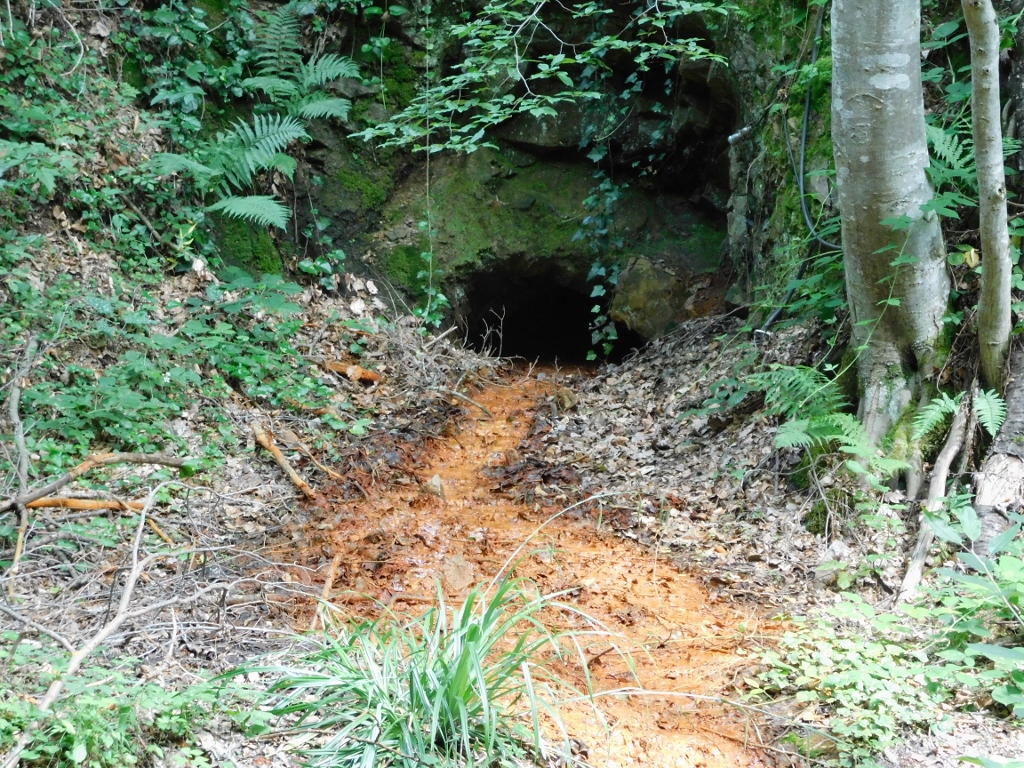
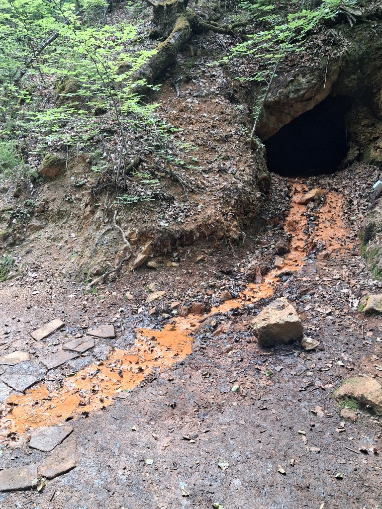
However, this also indicates that the area once contained deposits of various ores, particularly iron. As a result, visitors can still see the remains of 13th-century mining shafts.
In the Middle Ages, the Saxons, a Germanic people, were regarded throughout Europe as the foremost experts in mining. They possessed extensive knowledge of locating ore deposits, excavating mine shafts, draining mines and processing ore. Because of this expertise, they were in great demand and rulers across Europe often invited them to develop mining industries within their realms.
One such ruler was the Serbian King Stefan Uroš I Nemanjić (c. 1223–1277), who sought to strengthen the economy of his kingdom. He knew that Serbia possessed abundant deposits of silver, gold, copper and iron, but lacked the skilled specialists needed to exploit them efficiently. He therefore invited Saxon miners to Serbia from the then Kingdom of Hungary, where they had already been living and working in the mines.
Today, three medieval mining shafts remain within the Devil's Town site. Only one of them has been explored and it extends for approximately 800 m.
 Đavolja Varoš, a detail
 Đavolja Varoš, a detail
 Đavolja Varoš, a detail
 Đavolja Varoš, a detail
 Đavolja Varoš, a detail
 Đavolja Varoš, a detail
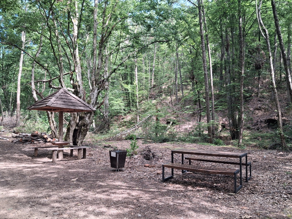
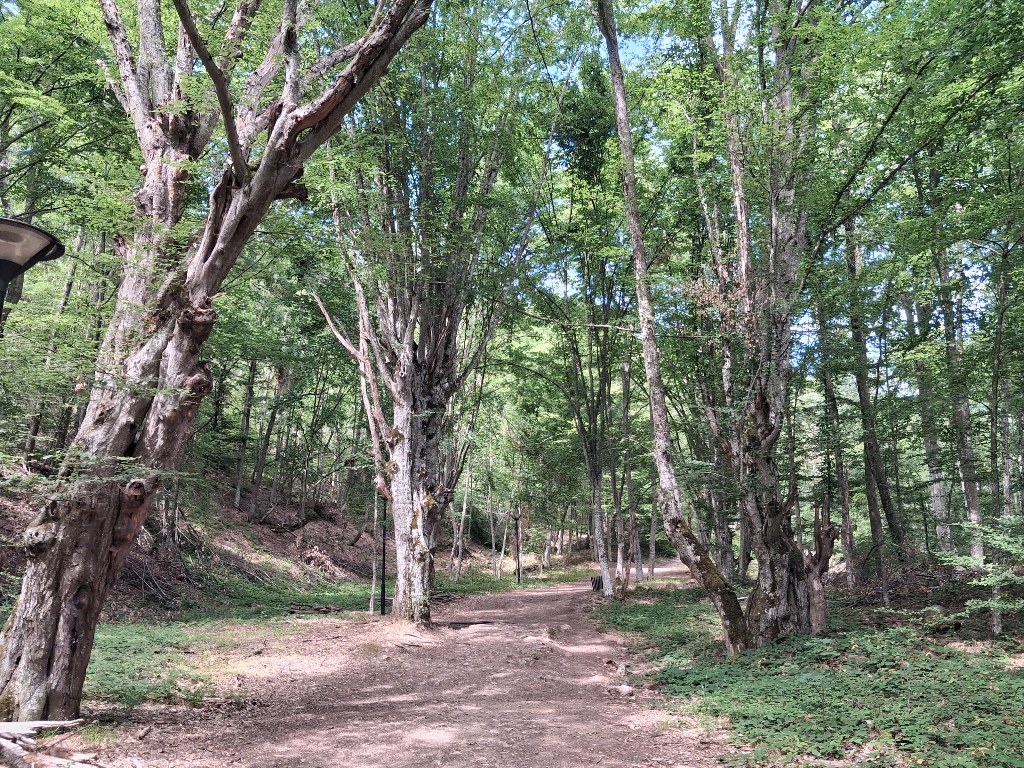
But, there are also pleasant, open clearings where visitors can sit and rest before continuing their tour of the site.
 Đavolja Varoš, a detail
 Đavolja Varoš, a detail
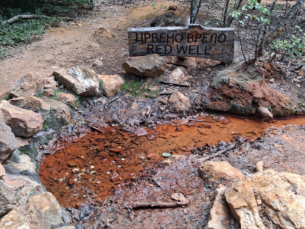
Before long, we reached another fascinating spring known as the Red Well.
 Đavolja Varoš, a detail
Here the water has a pH value of 3.5, while the large amount of iron it contains quickly oxidises when it comes into contact with the air, colouring the surrounding ground a rusty red.
To show how the water emerges here, I also recorded a short video.
It should also be mentioned that the water from neither of these two springs is suitable for everyday drinking due to its high mineral content and specific composition. However, it represents an interesting natural phenomenon that further contributes to the uniqueness of this area.
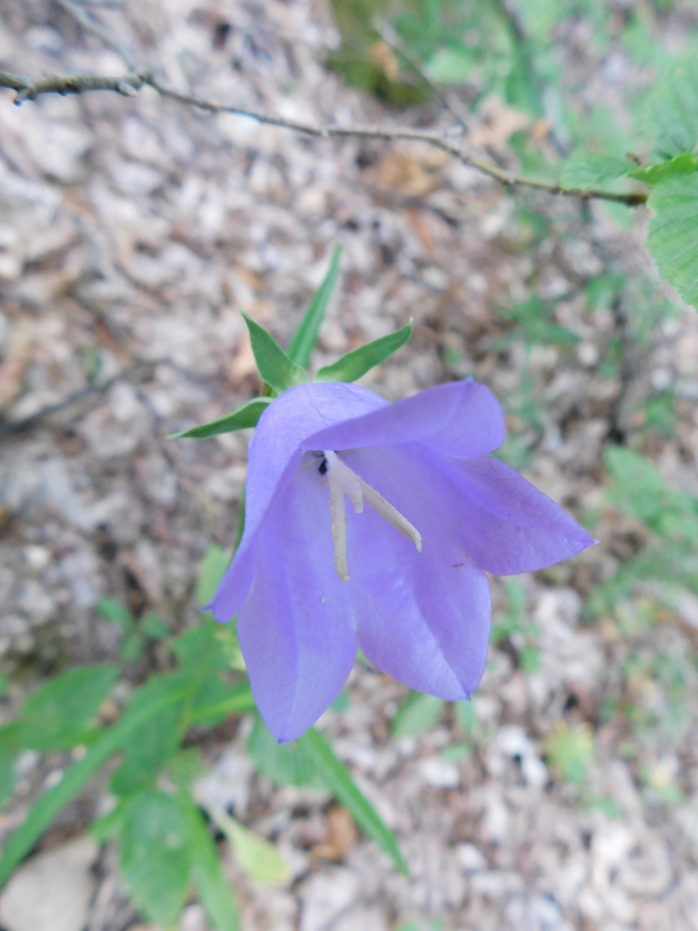
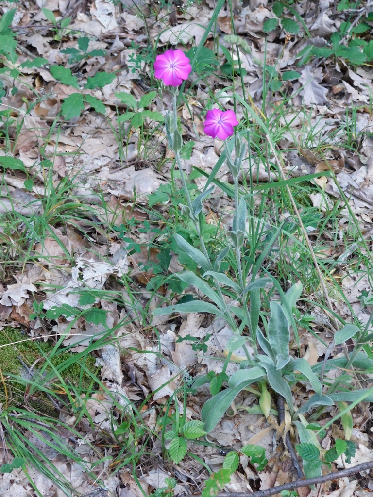
Apart from these yellow, orange and red shades, there are also other colours, especially when it comes to wildflowers.
 Đavolja Varoš, a detail
 Đavolja Varoš, a detail
Along the way, we also passed by an old beech tree the roots of which had been almost completely exposed as a result of long-term erosion. As the soil around the tree was gradually washed away by rain, the roots became raised above the ground and took on an unusual shape resembling a huge foot or claw. Because of this appearance, the locals named it Devil's Foot.
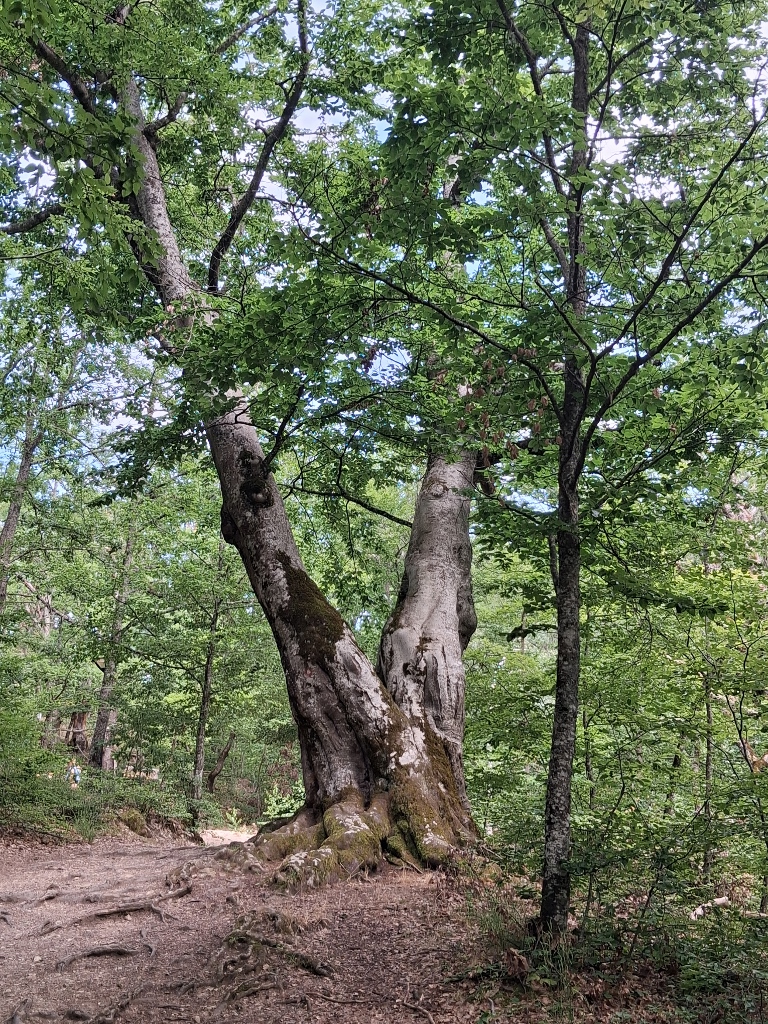 Đavolja Varoš, a detail
The tree is impressive when viewed from the other side as well.
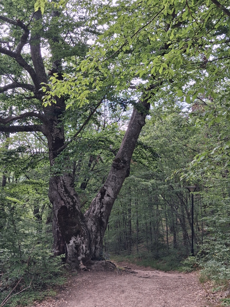 Đavolja Varoš, a detail
And so, we reached the central part of the site, where I first took a photo of my friends.
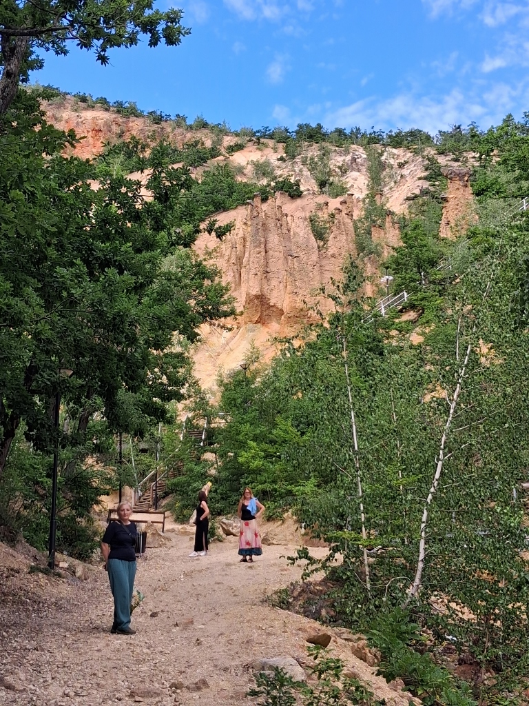 Đavolja Varoš, a detail
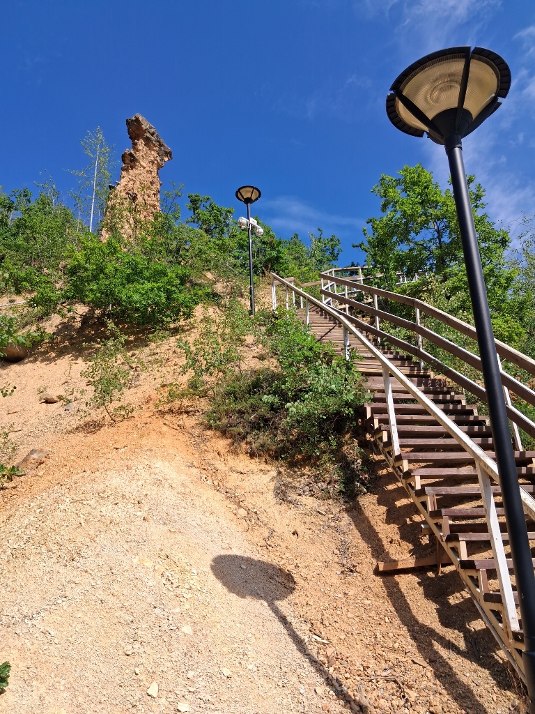
The modular staircases leading to Viewpoints 1 and 2 can also be seen here. The ones leading to Viewpoint 2 are higher, so I decided to take those first, because I am the kind of person who prefers to face the bigger challenge right away.
Of course, along the way I had to stop several times to catch my breath, as it was quite hot, but I used those breaks as an opportunity to photograph Devil's Town and its impressive details.
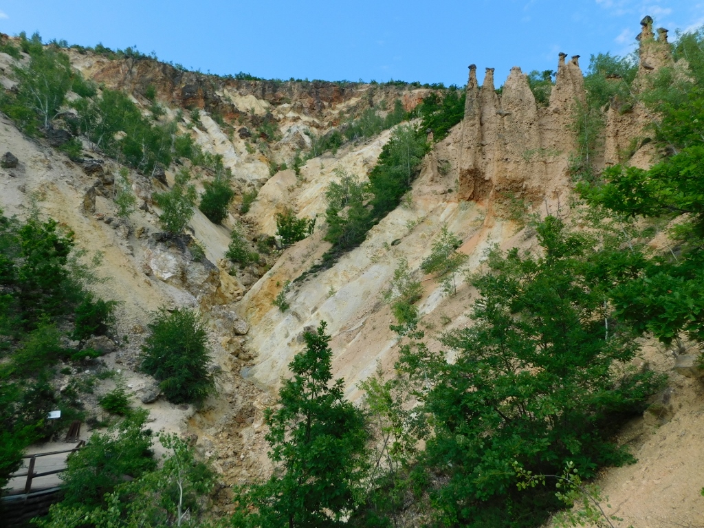 Đavolja Varoš, a detail
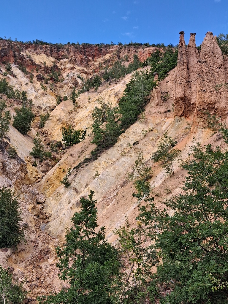 Đavolja Varoš, a detail
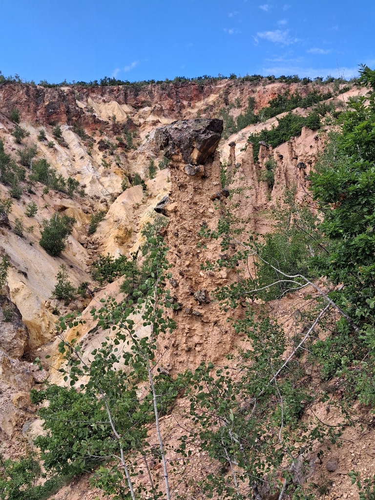 Đavolja Varoš, a detail
This way, I reached Viewpoint 2 and from there I had a view of this entire fascinating formation.
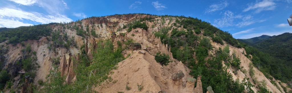 Đavolja Varoš, a detail
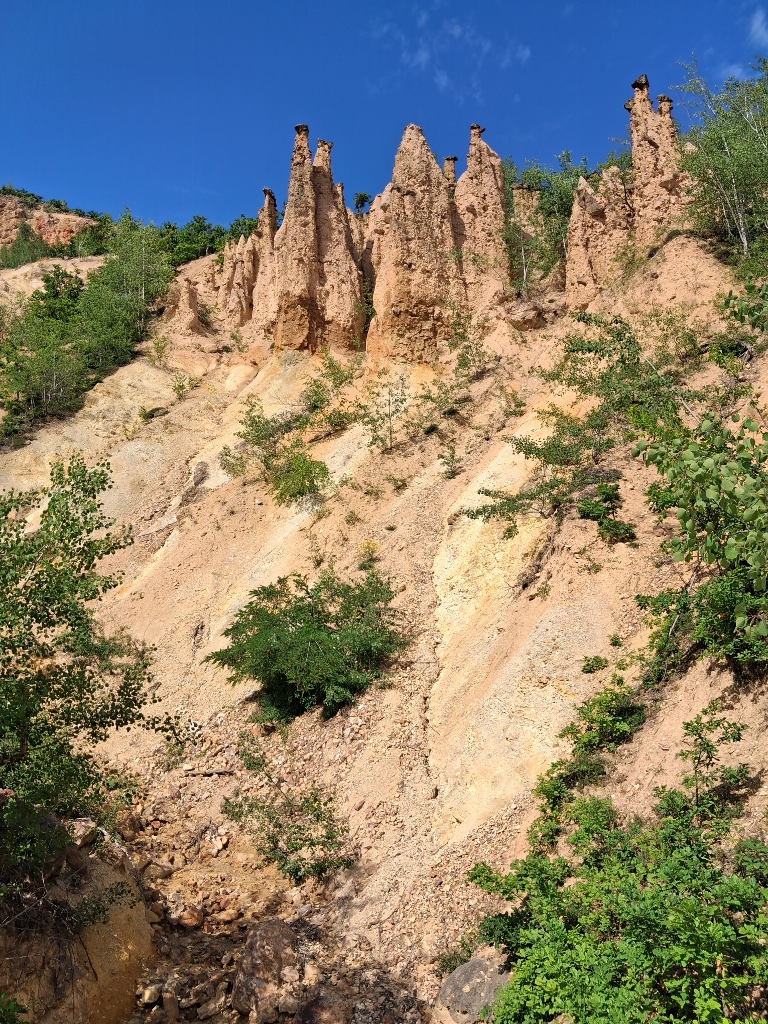
This place is linked with numerous folk legends, while the most famous one tells that the devil wanted to arrange a wedding between a brother and sister in order to bring discord among people. According to the legend, God prevented this sin by turning all the wedding guests into stone. It is because of this story that the site received its name – Devil's Town.
I was very happy that I had finally come here, so I then started taking photos of different details and views from various angles.
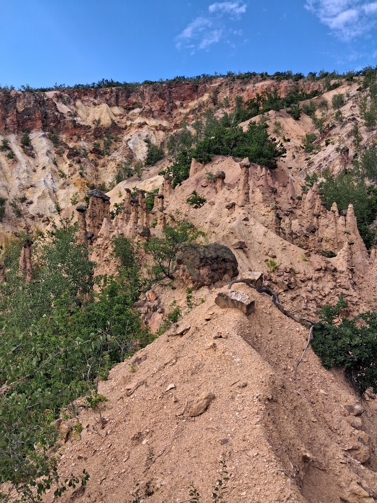 Đavolja Varoš, a detail
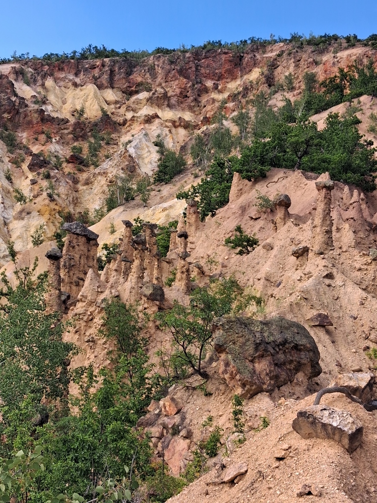 Đavolja Varoš, a detail
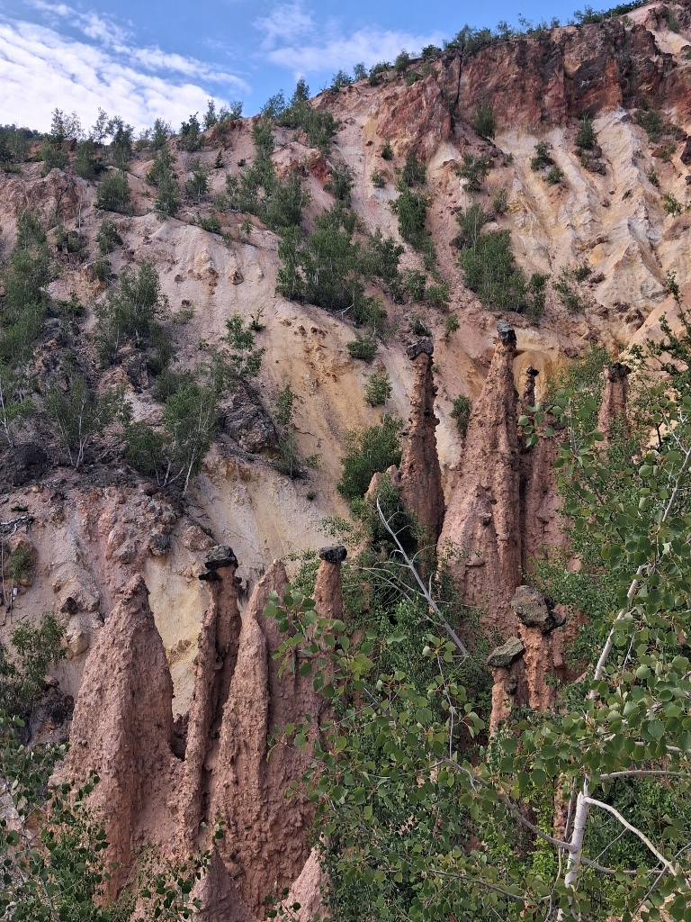 Đavolja Varoš, a detail
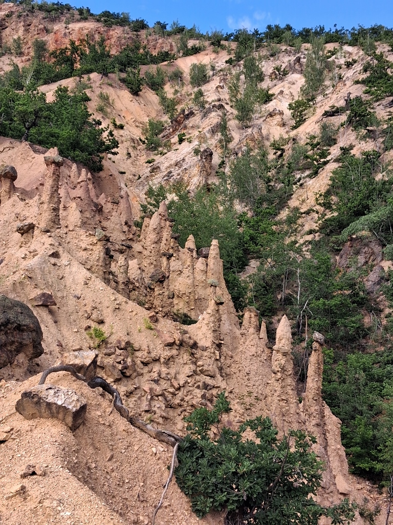 Đavolja Varoš, a detail
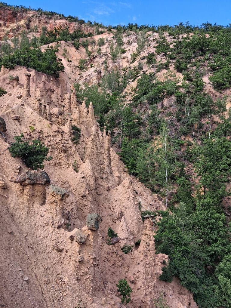 Đavolja Varoš, a detail
In the meantime, my friends arrived as well, so we took advantage of the presence of some other visitors and took turns photographing each other at the viewpoint.
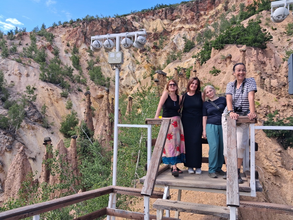 A small group of visitors to Đavolja Varoš
Actually, I do not have much more to say about this place, but I did take quite a lot of photographs, so here is a selection of them. Naturally, it would be ideal for anyone interested to visit Devil's Town in person.
From the viewpoint, you can also clearly see the part of the site called “Young Devil's Town,” which is a ravine with a smaller number of formations where the erosion process has only just begun. From this side, the slopes of Mount Radan can also be seen.
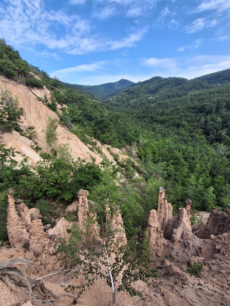 Đavolja Varoš, a detail
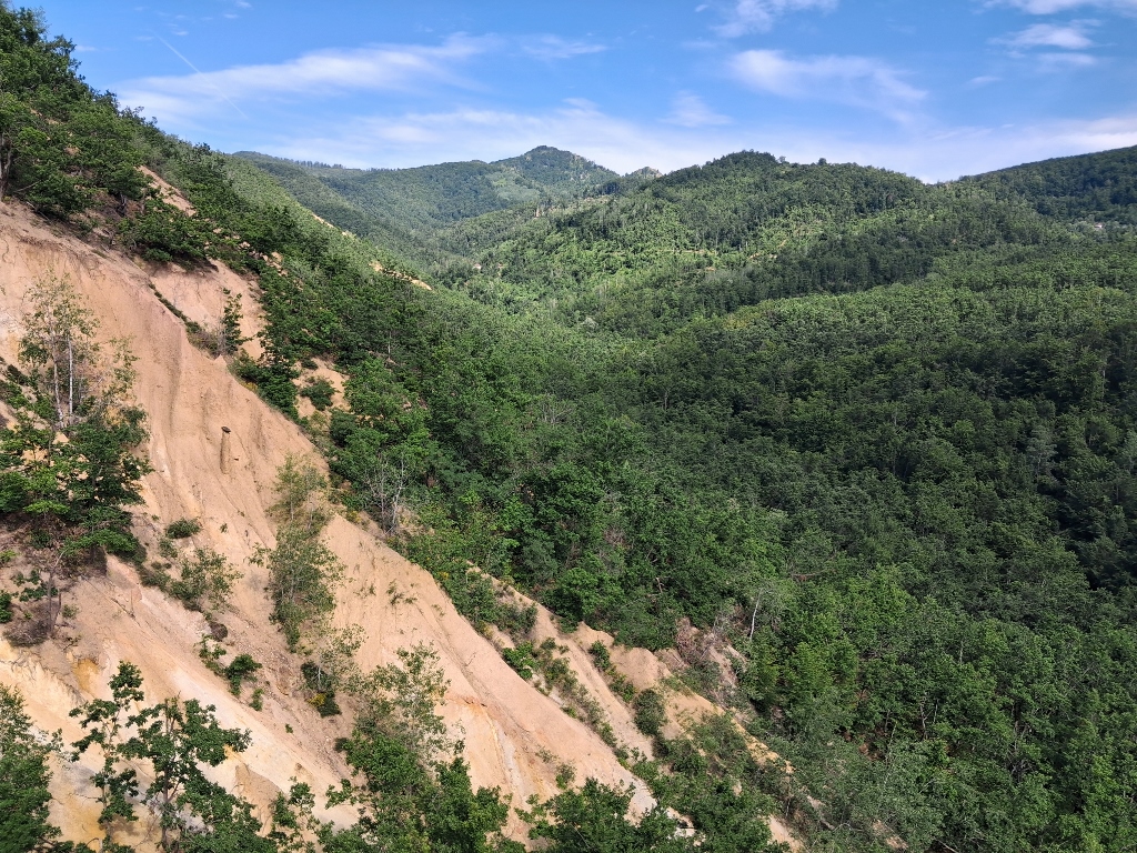 Đavolja Varoš, a detail
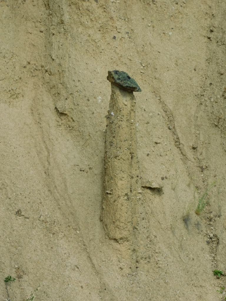 Đavolja Varoš, a detail
 Đavolja Varoš, a detail
Then I started making my way down from Viewpoint 2 and along the way I took more photographs, including the staircase leading up to the viewpoint.
 Đavolja Varoš, a detail
 Đavolja Varoš, a detail
And then, from the base, I looked once again towards the “petrified wedding guests.”
 Đavolja Varoš, a detail
 Đavolja Varoš, a detail
 Đavolja Varoš, a detail
The next thing to do was to go up to Viewpoint 1 as well.
 Đavolja Varoš, a detail
 Đavolja Varoš, a detail
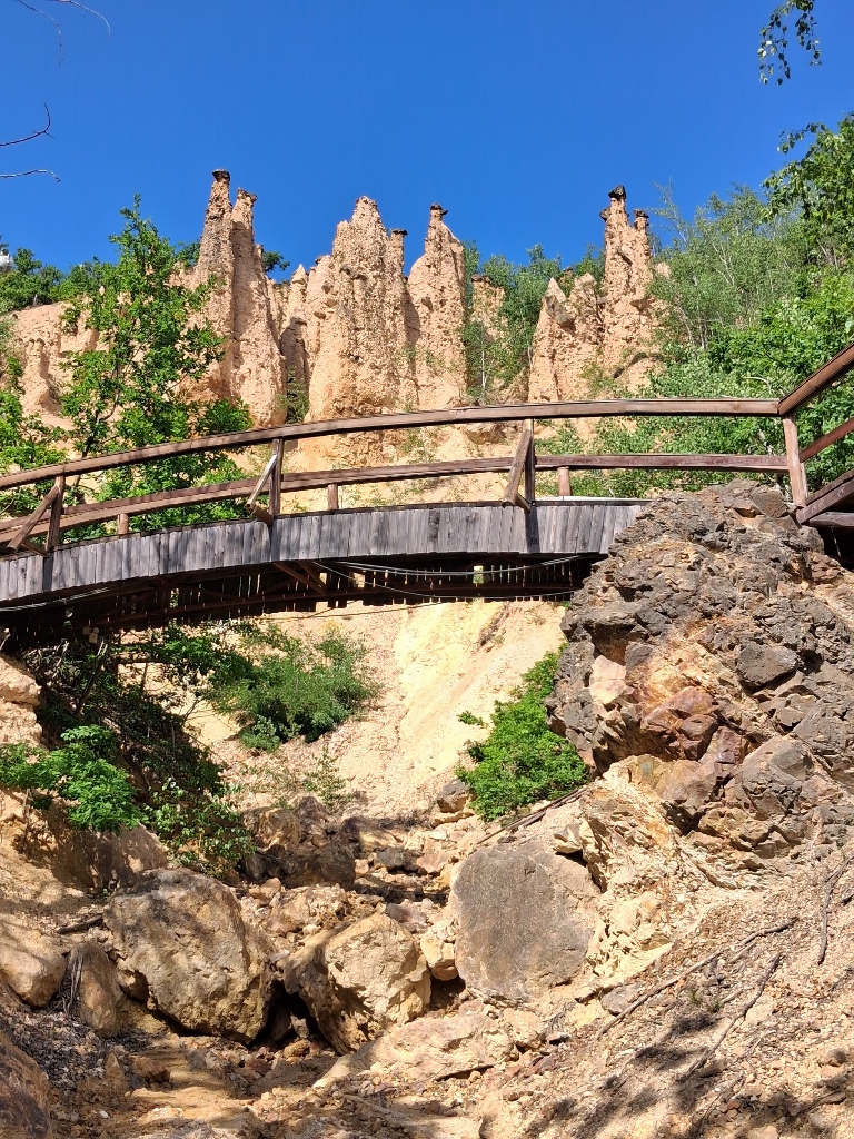
Returning to the main path, I also looked towards the ravine where the extremely acidic spring, Devil's Water, is located a little further away. However, I was not really eager to climb over the rocks in ordinary sneakers and in such intense heat.
 Đavolja Varoš, a detail
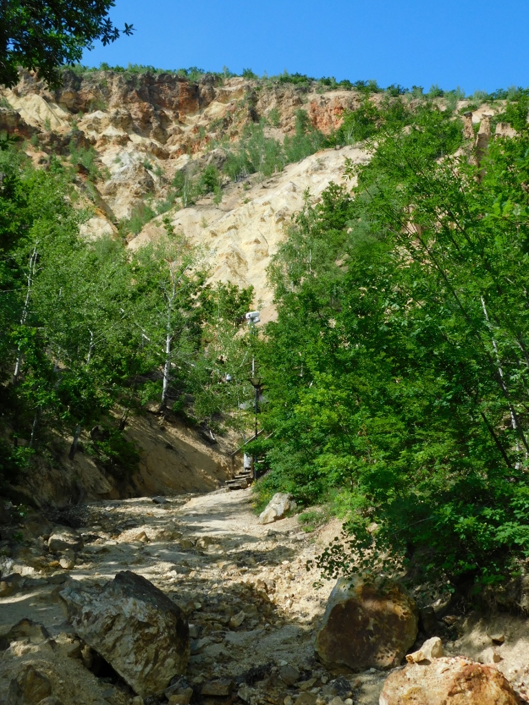
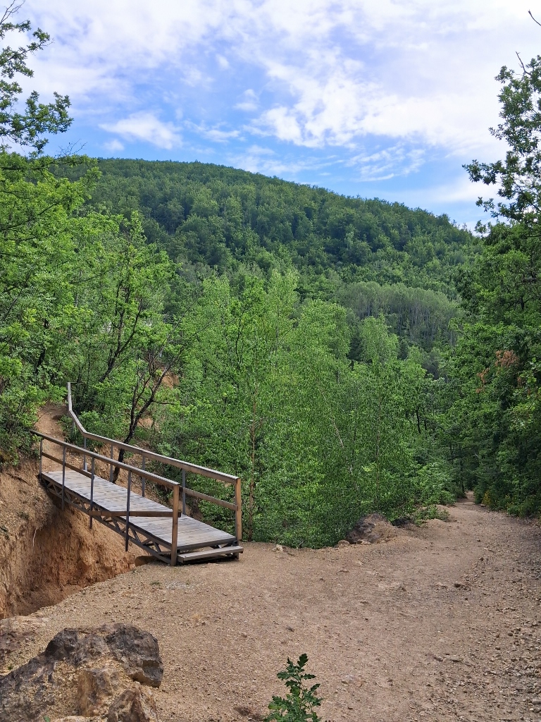
I also needed to catch up with my friends, so I started walking down the path, taking one more look towards Devil's Town. A few dozen metres further on, I reached the little bridge that leads to the nearby church.
 Đavolja Varoš, a detail
 Đavolja Varoš, a detail
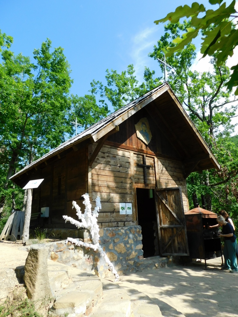
One of the legends also says that the formations represent petrified devils that people had carried on their backs for a long time, enduring evil and suffering. And when people spent the night beside the Church of St. Petka, they freed themselves from their demons/devils, which then turned to stone.
St. Petka (St. Paraskeva of the Balkans) is a particularly revered saint throughout the Balkans and is believed to help the sick. There is a belief that if a visitor touches the place that hurts with a white handkerchief and makes a wish, and then ties the handkerchief to one of the pillars, all suffering and troubles (the devils) will remain in Devil's Town. The handkerchiefs stay there for seven days, after which they are buried and thus the suffering remains in the earth forever. Such is the belief.
 Đavolja Varoš, a detail
I briefly went inside the church and took photos of it once again from the outside, and then my friends and I headed towards the exit of the site.
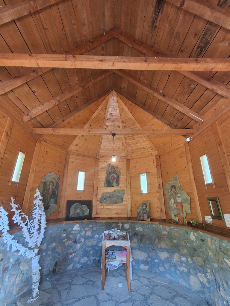 Đavolja Varoš, a detail
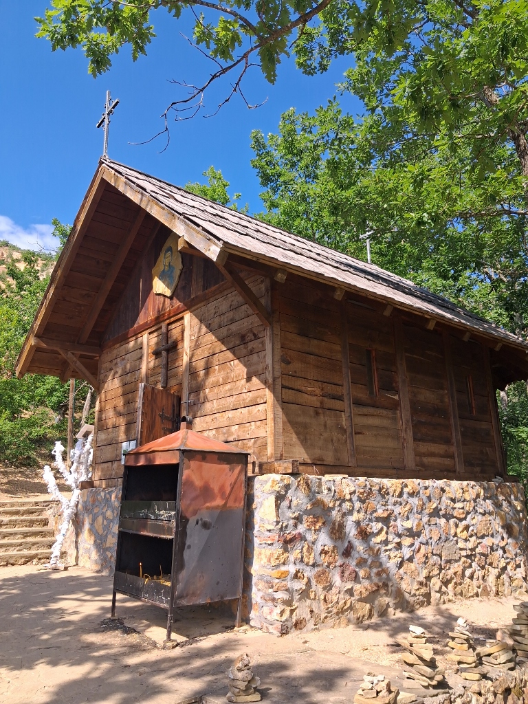 Đavolja Varoš, a detail
Along the way, we also passed by what is now a dry streambed and there we noticed that some people had left banknotes tucked under stones, so that they would not blow away. Clearly, there are many different beliefs associated with this place.
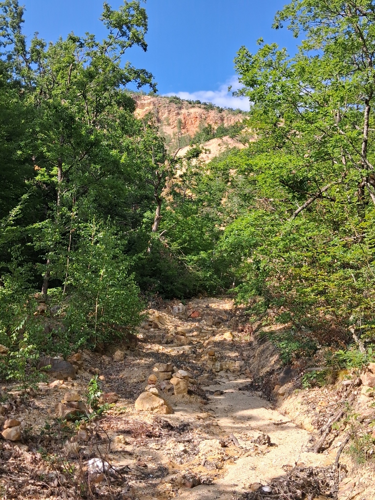 Đavolja Varoš, a detail
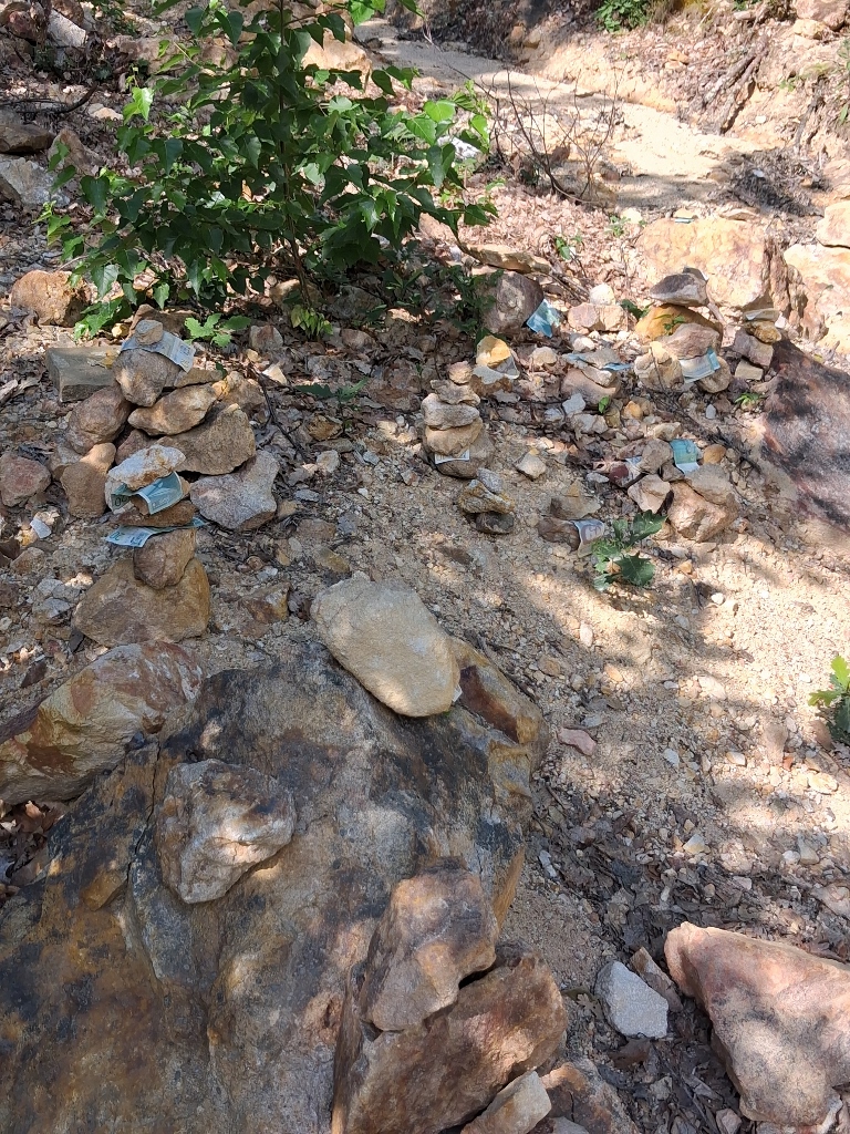 Đavolja Varoš, a detail
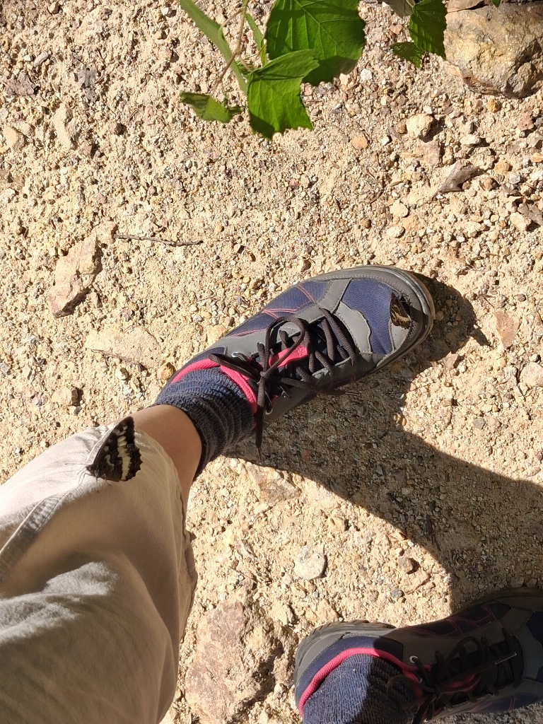
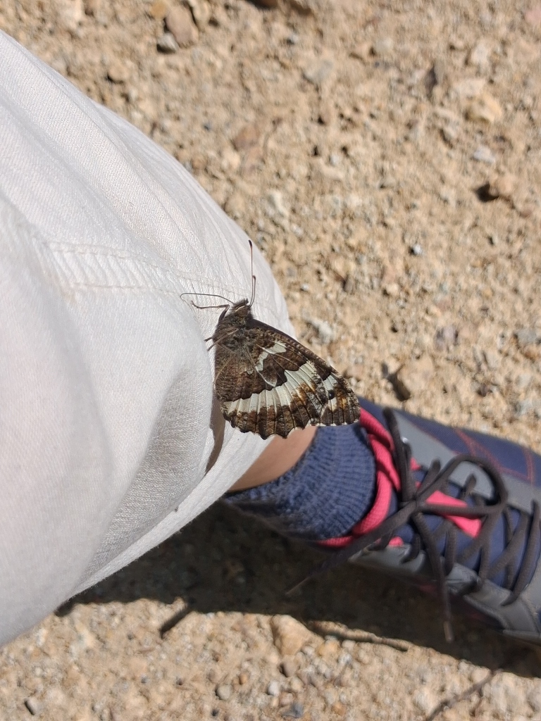
However, this streambed was not completely dry, so some butterflies came there to drink a little water from the damp ground. While I was standing there taking photographs, they decided that my sweat would also be useful to them, because otherwise I have no idea why they would have landed on me. They were specimens of the great banded grayling (Brintesia circe).
 Đavolja Varoš, a detail
 Đavolja Varoš, a detail
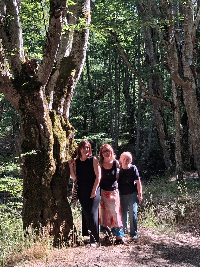
A little further on, I wanted to photograph my friends again and I guess I can say that they looked like the Three Graces.
 Đavolja Varoš, a detail
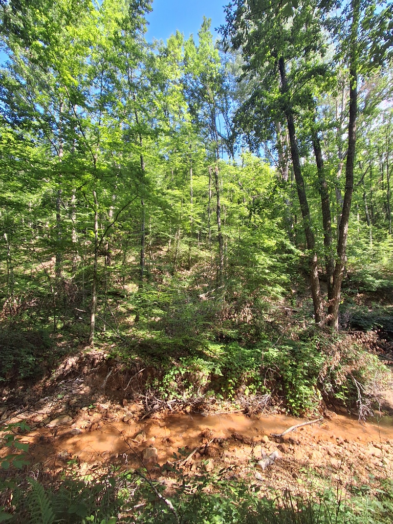
We walked a little further through the forest and alongside the Yellow Stream, and at one point we passed a lush bush of field horsetail (Equisetum arvense).
 Đavolja Varoš, a detail
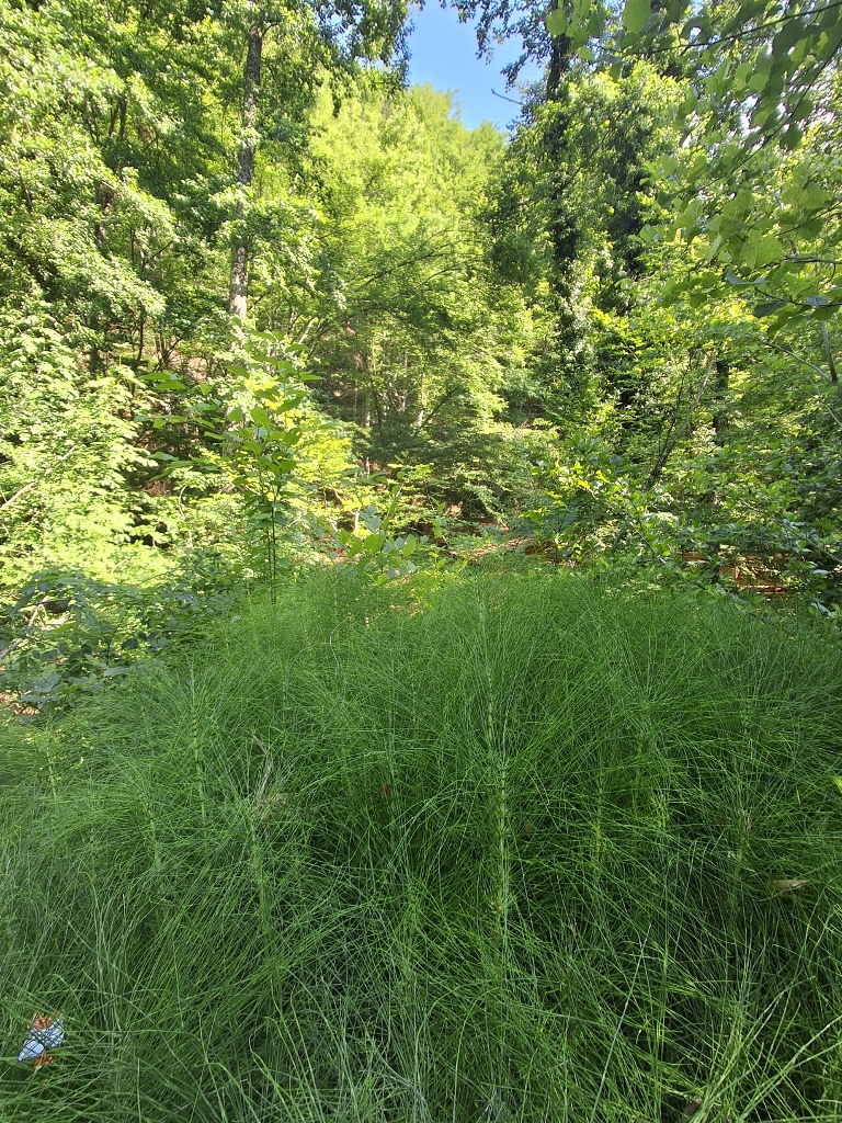 Đavolja Varoš, a detail
At the entrance/exit, I captured a few more charming details and then the four of us hurried to the car because we wanted to drive to a nearby restaurant, as we were getting hungry.
 Đavolja Varoš, a detail
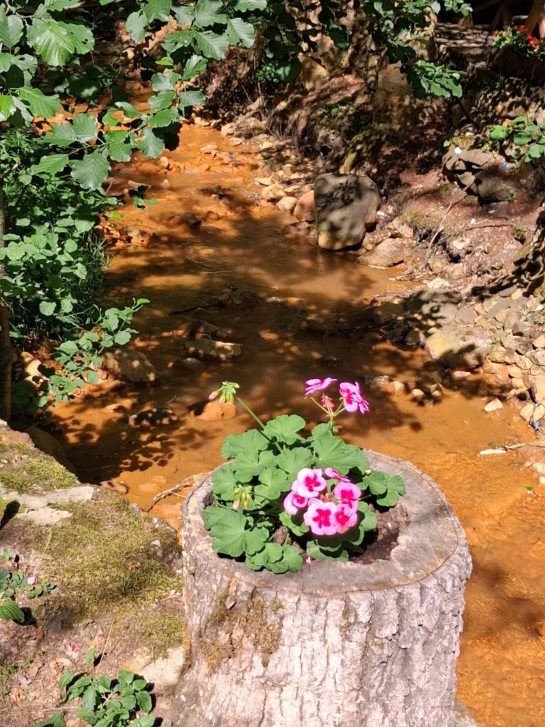 Đavolja Varoš, a detail
It turned out that the restaurant located very close to the entrance of the Devil's Town site is a very pleasant and charming place. On the other hand, we had previously seen several cars in the parking area serving the restaurant, but when we arrived, there were no other guests.
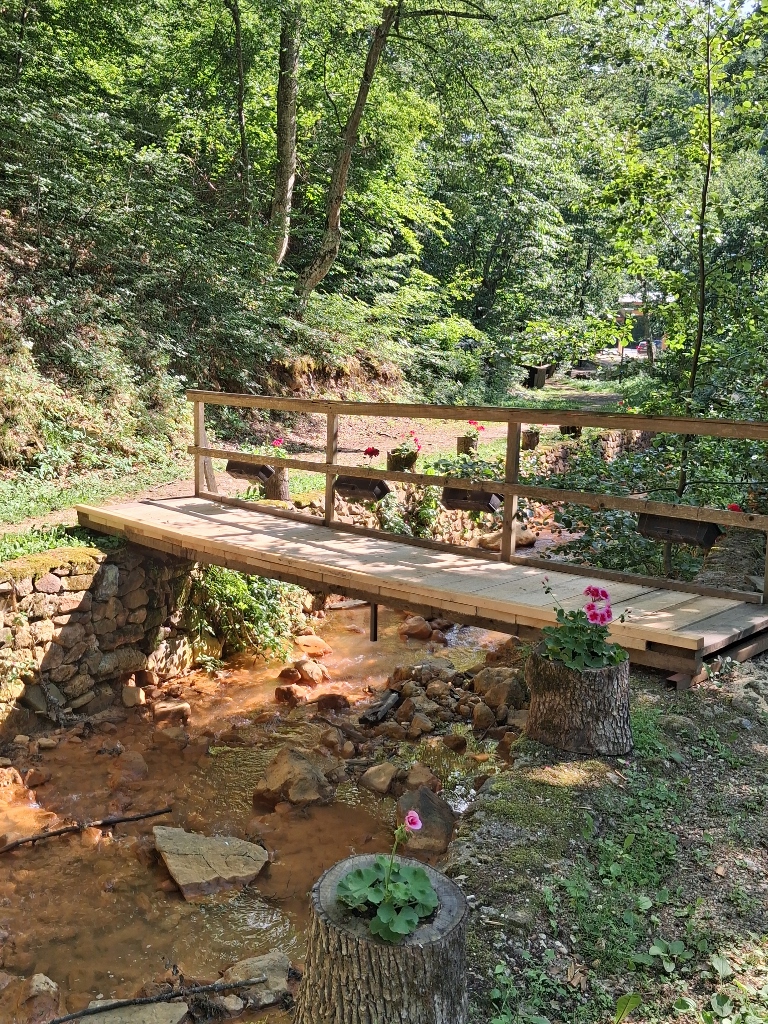
To begin with, a wooden bridge leads from the parking area to the restaurant.
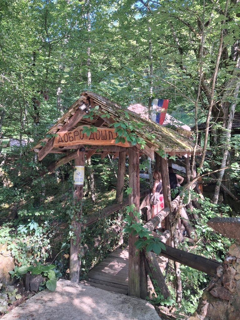 Restaurant close to Đavolja Varoš, a detail
Here, I also took photographs of my friends and then the view from the bridge.
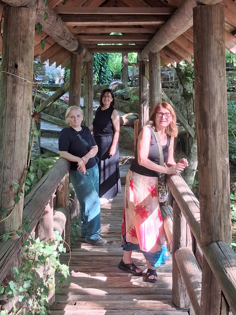 My friends – Sonja, Jasna and Tanja
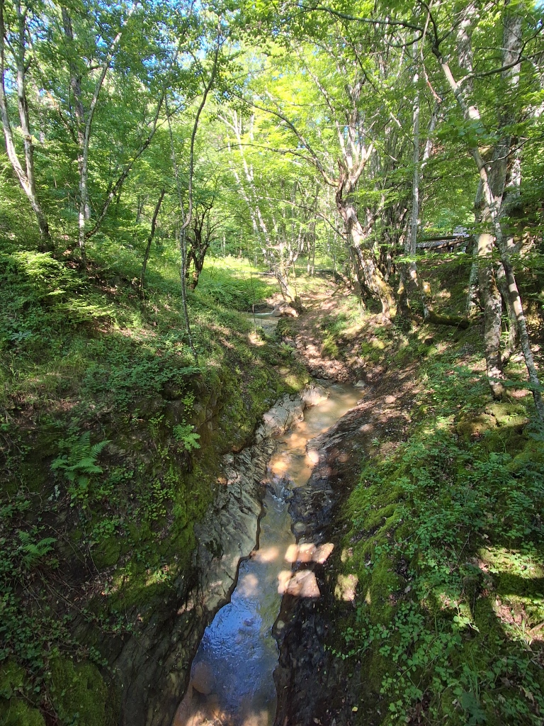 Restaurant close to Đavolja Varoš, a detail
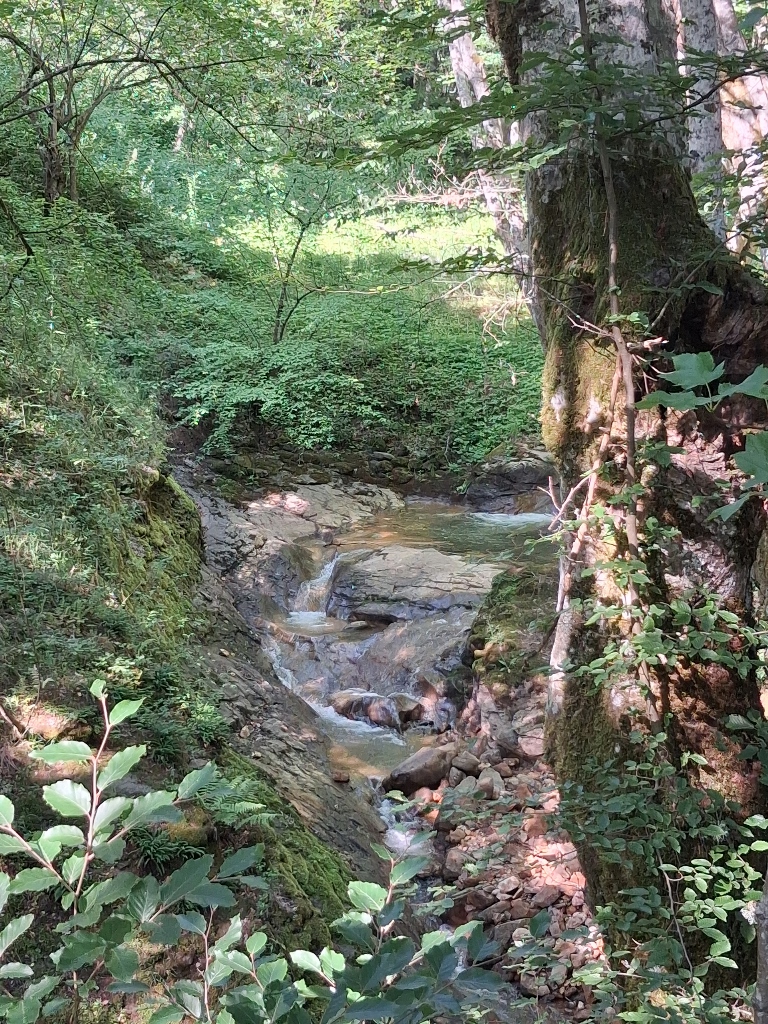 Restaurant close to Đavolja Varoš, a detail
We sat down at one of the tables, the owner soon came over and we ordered what we wanted. Meanwhile, I took some photos around this picturesque traditional-style restaurant.
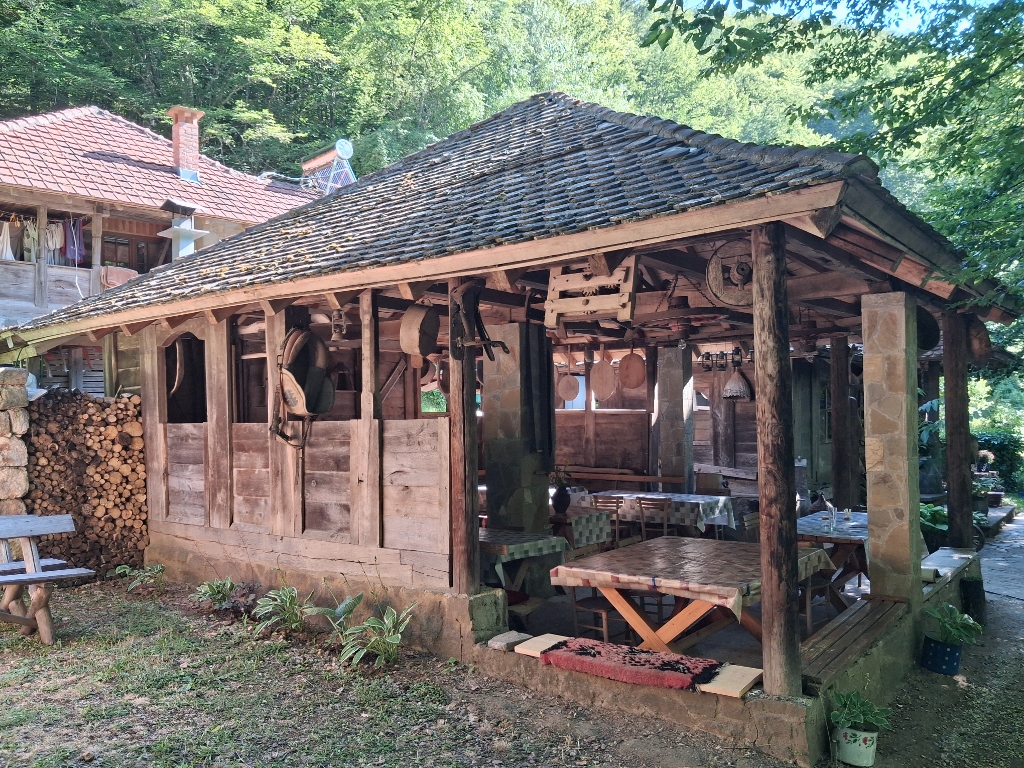 Restaurant close to Đavolja Varoš, a detail
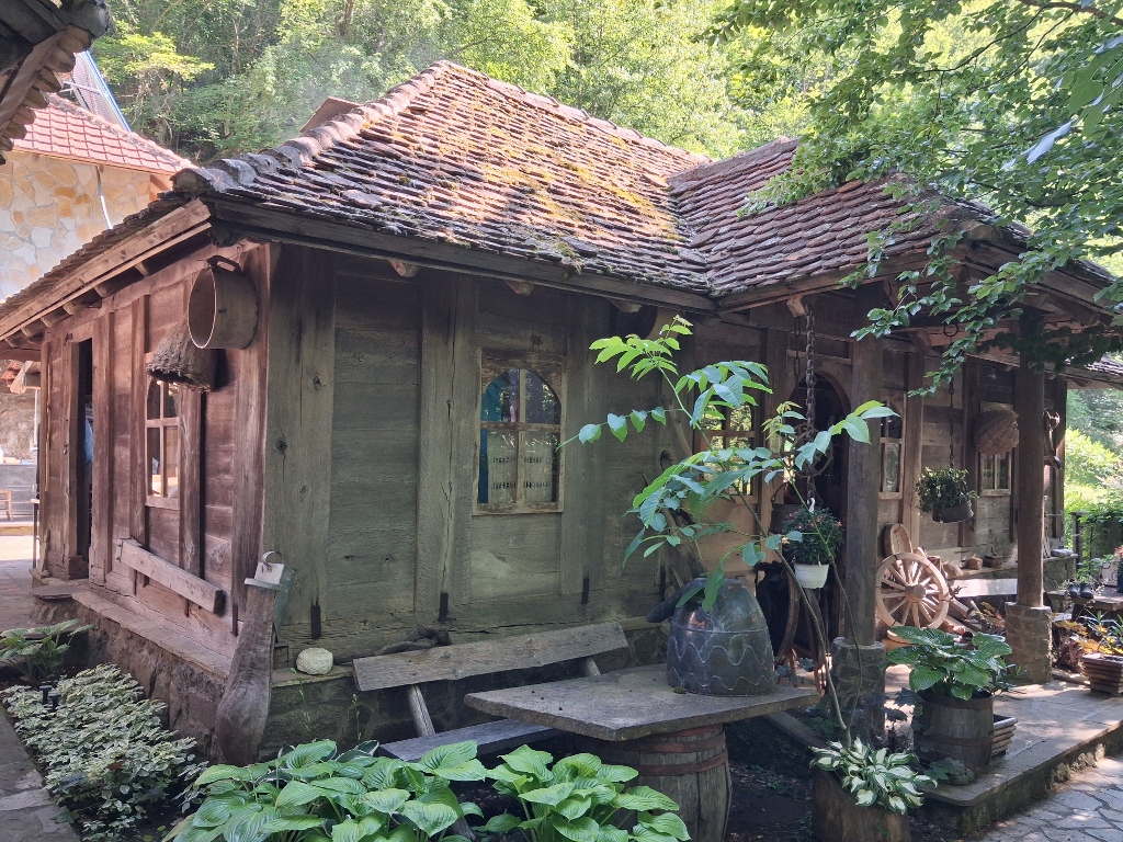 Restaurant close to Đavolja Varoš, a detail
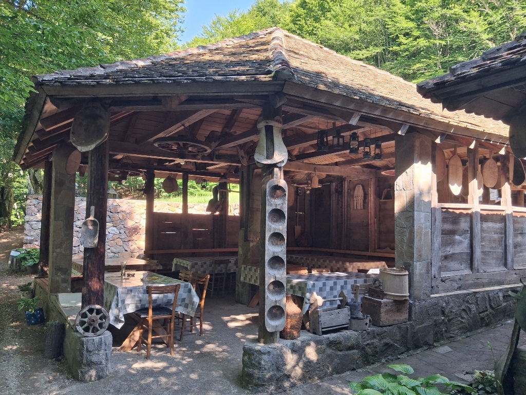 Restaurant close to Đavolja Varoš, a detail
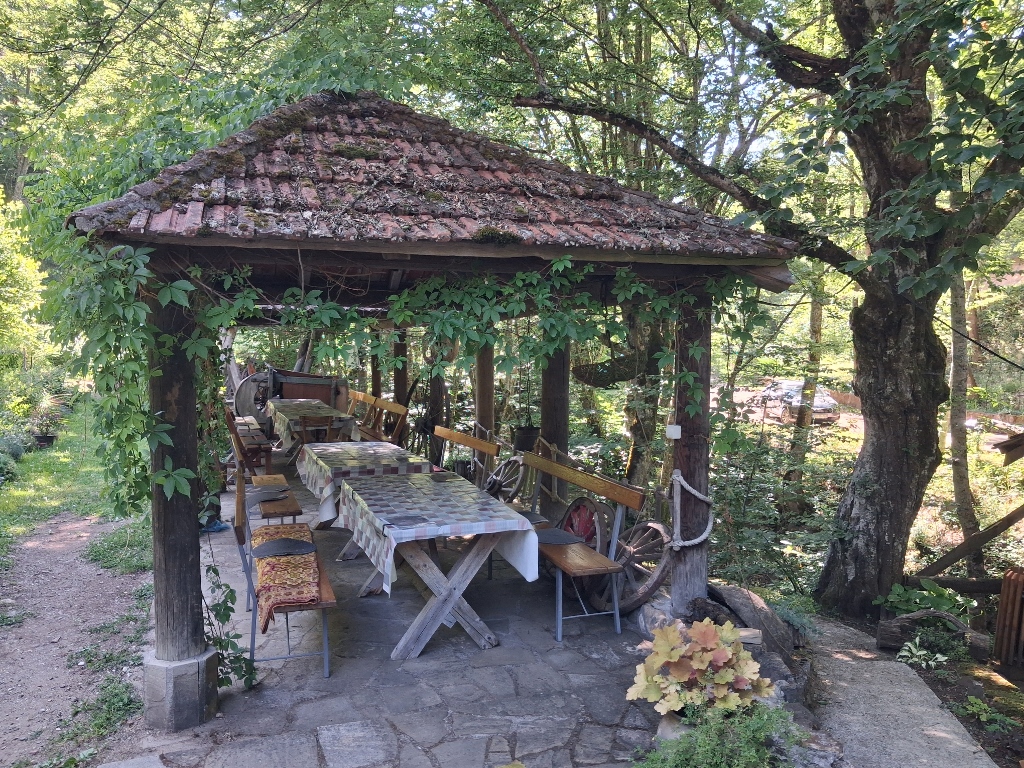 Restaurant close to Đavolja Varoš, a detail
The food arrived shortly afterwards and it was a wonderful lunch.
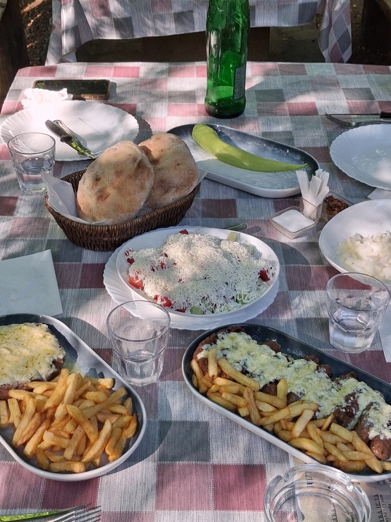 Restaurant close to Đavolja Varoš, a detail
The next few days were dedicated to Tanja’s family Slava (celebration of the family’s patron saint’s day). There was wonderful time spent together, cooking and preparing various delicacies, as well as a festive and joyful celebration with family and friends.
The day after the Slava, we began to go our separate ways. Since I had arrived in my own car, I was also returning home on my own, but this time I decided to visit another interesting place that is a cultural monument.
It was the Church of St. Stephen, which is part of the Lepenac Monastery. The village of Lepenac, where the church is located, is about 23.5 km west of Blace and about 6.5 km east of Brus. However, despite knowing all this, I had trouble locating the church.
I asked Tanja’s neighbours and relatives for directions, and most of them knew about the church and the monastery, but they did not know how I could get there because it seemed as if there was no road leading to it.
I decided to improvise, but before that I chose to visit a winery located to the east, but still close to Blace. In fact, I did not even know it was there until the day when I was going with my friends to Ajdanovac Monastery and realised that it was “somewhere nearby.”
This entire area is exceptionally beautiful, with gently rolling terrain and numerous cultivated fields, all interspersed with small groves and not very high mountains in the background.
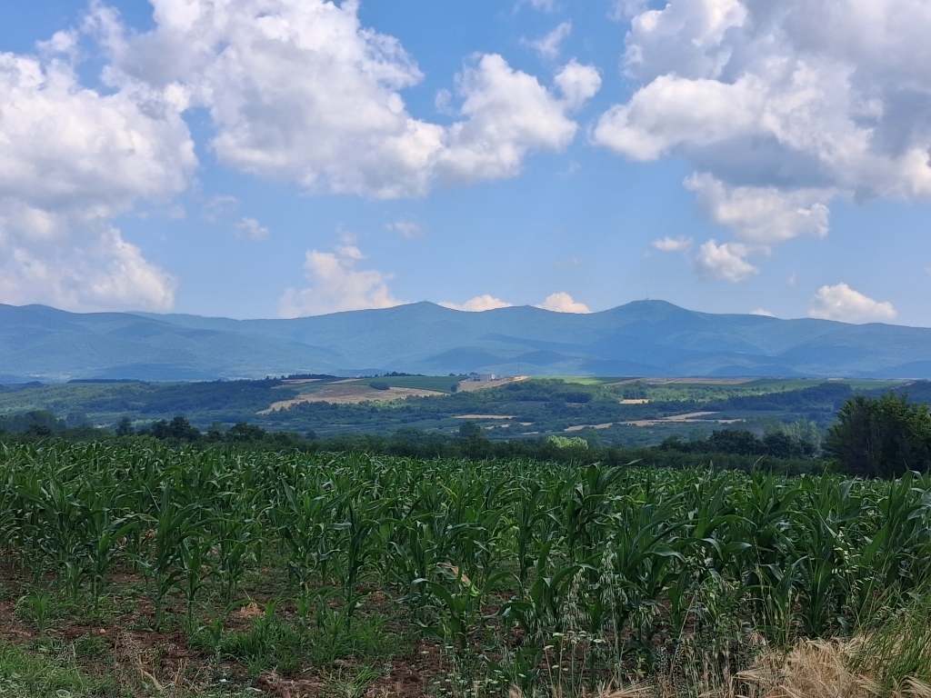 Surroundings of Blace
This visit to the winery was more a matter of curiosity than because I am really some kind of wine expert. Although, pardon me, I do understand wine very well – either I like it or I don’t.
And so, I drove up to the top of one of the hills, where I found this winery with a very modern building. It stands out quite noticeably from the houses along the way in this area, but modern times, modern habits and business activities also bring modern design.
What interested me more, though, was the beautiful view of the vineyards and the surrounding landscape.
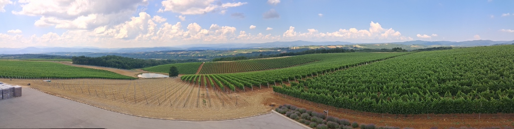 Surroundings of Blace
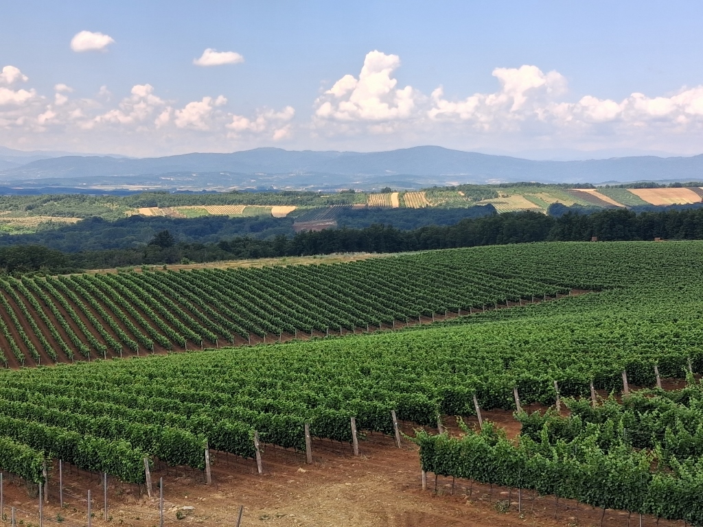 Surroundings of Blace
And now, I finally returned to the main road leading to Blace, but this time I continued further towards Brus and so I reached the village of Lepenac.
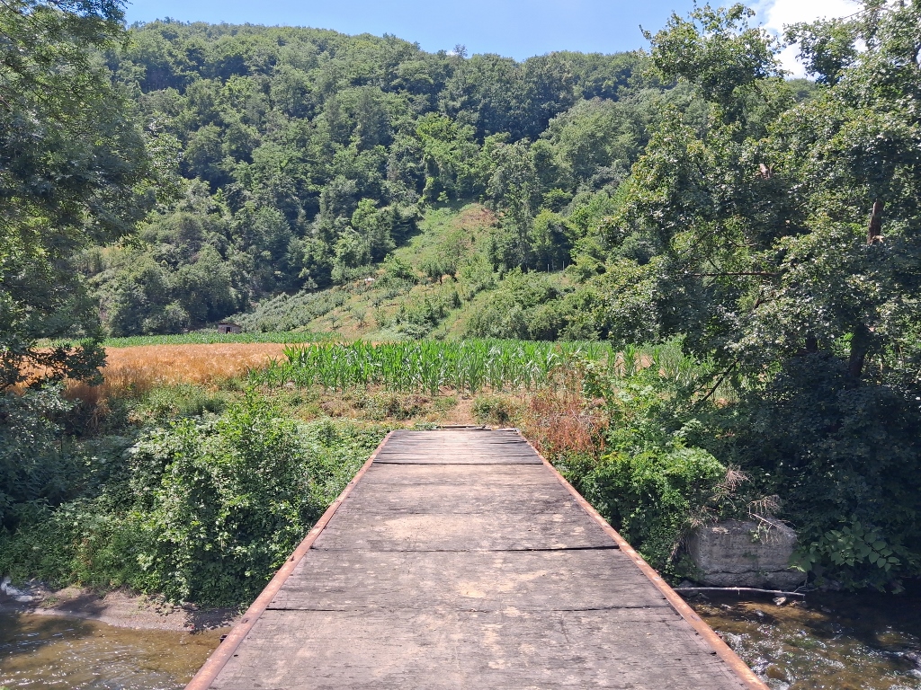
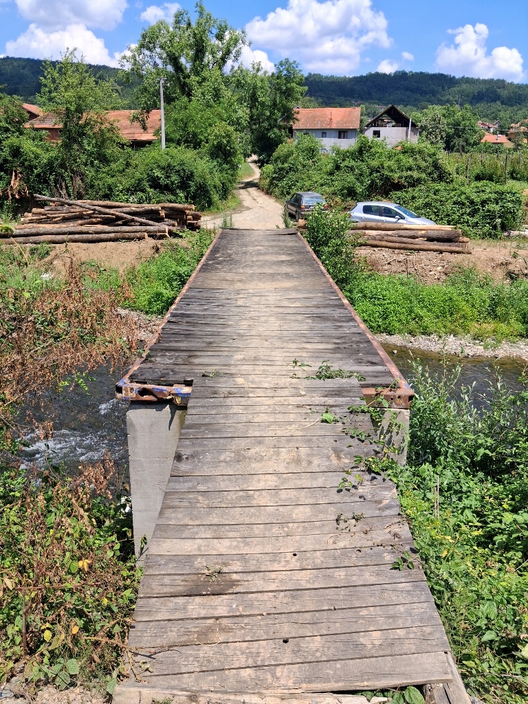
There, I even spotted a sign showing where to turn towards the monastery, so I followed it. The road is narrow and unpaved, and after only about a hundred metres it comes to an end. More precisely, it leads to the bank of the Rasina River and a bridge, but the bridge was clearly not intended for cars. It seemed wide enough, but that was all. I parked my car in the small available space there, photographed the Rasina River and then the bridge as well.
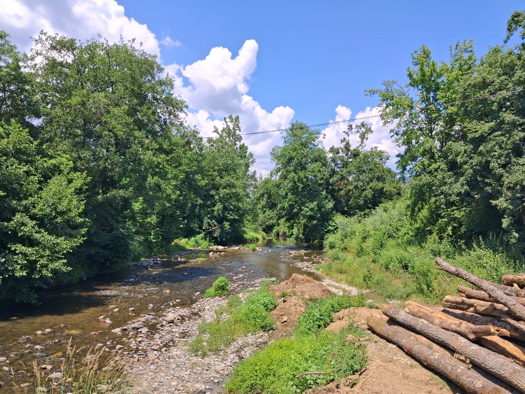 Lepenac, a detail
 Lepenac, a detail
I thought that from this side I could not see clearly where the road led on the other side of the bridge, so I set off on foot and was quite surprised to discover that the bridge does not lead anywhere. Well, pardon me, it leads directly to a field.
Completely confused, I turned around and went back to my car.
 Lepenac, a detail
Then I noticed a couple of women sitting a little further away in the shade, so I asked them whether it was possible to reach the church and monastery. They said it was and that it was even possible to get there by car, but “if I had a car that could cross the river.” Excuse me???!!!
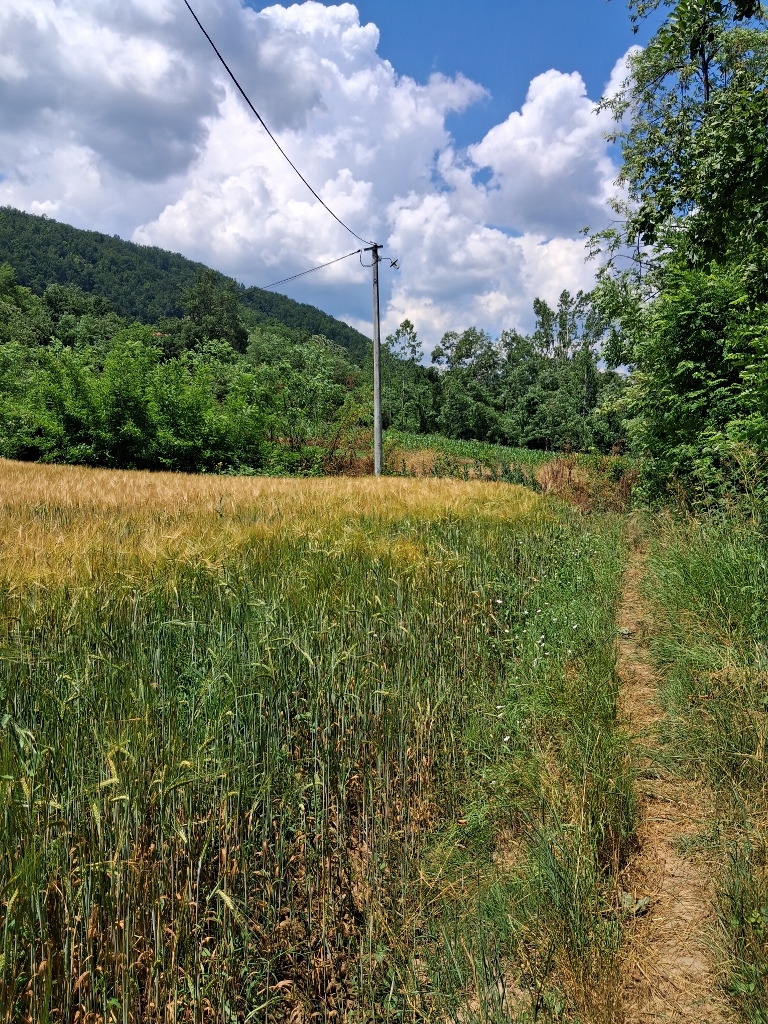
I decided that my car was better left where it was, so I went back across the bridge and, immediately at the other end, turned onto a very narrow path running between the bank of the Rasina River and the field.
 Lepenac, a detail
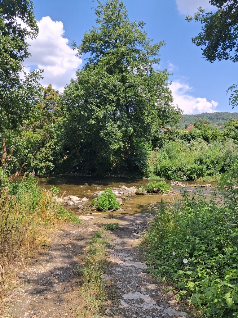
Soon enough the path came to an end and opened onto a dirt road, and only then did I truly understand and see what those women had been talking about. The church and monastery can indeed be reached by car, but only if the vehicle is an off-road one or a tractor. This is because the road leading to the monastery starts from the riverbed.
I found the whole situation extremely amusing.
 Lepenac, a detail
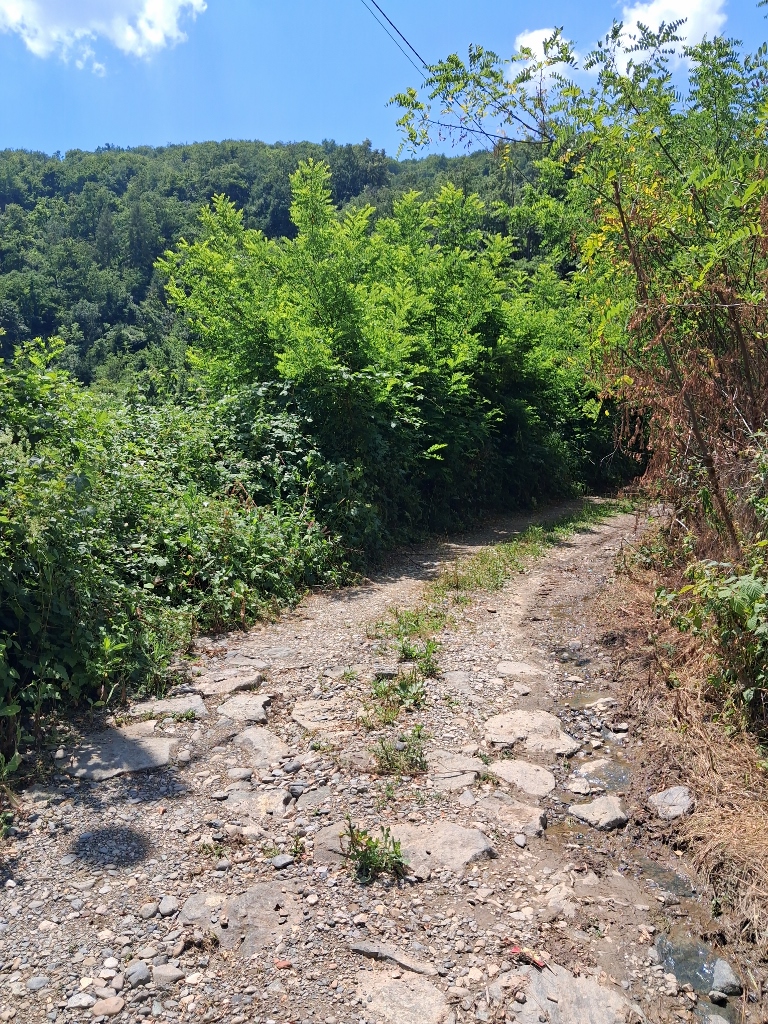 Lepenac, a detail
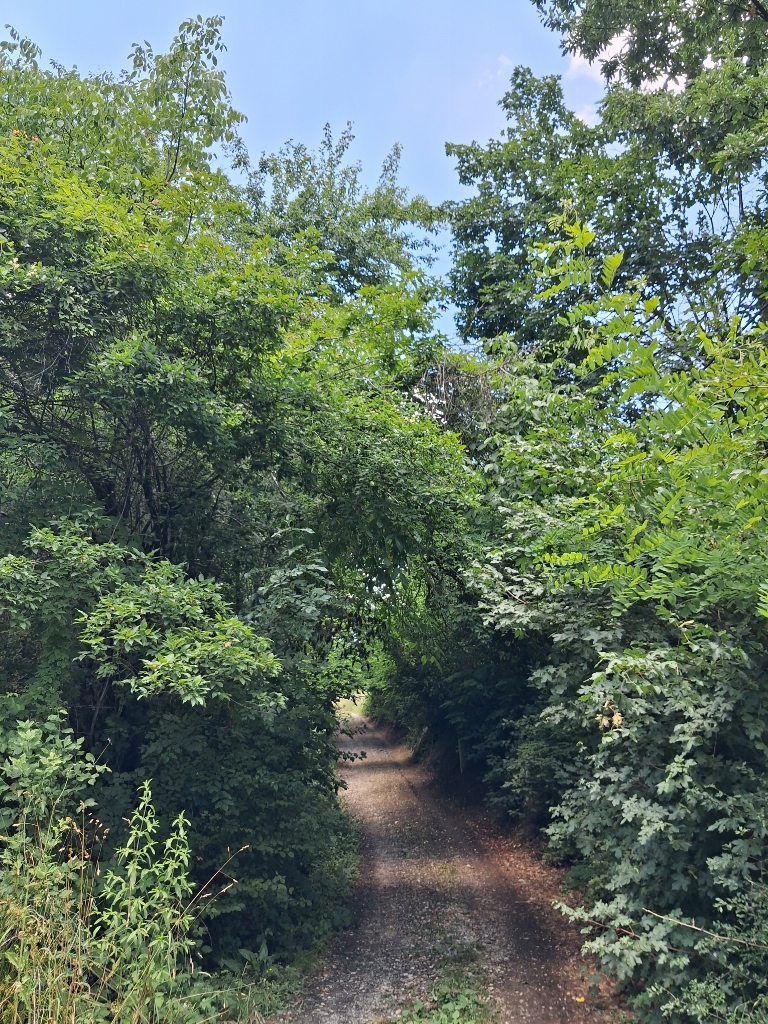 Lepenac, a detail
From time to time, I looked back and photographed some parts of the village of Lepenac, which is located on the opposite bank of the Rasina River.
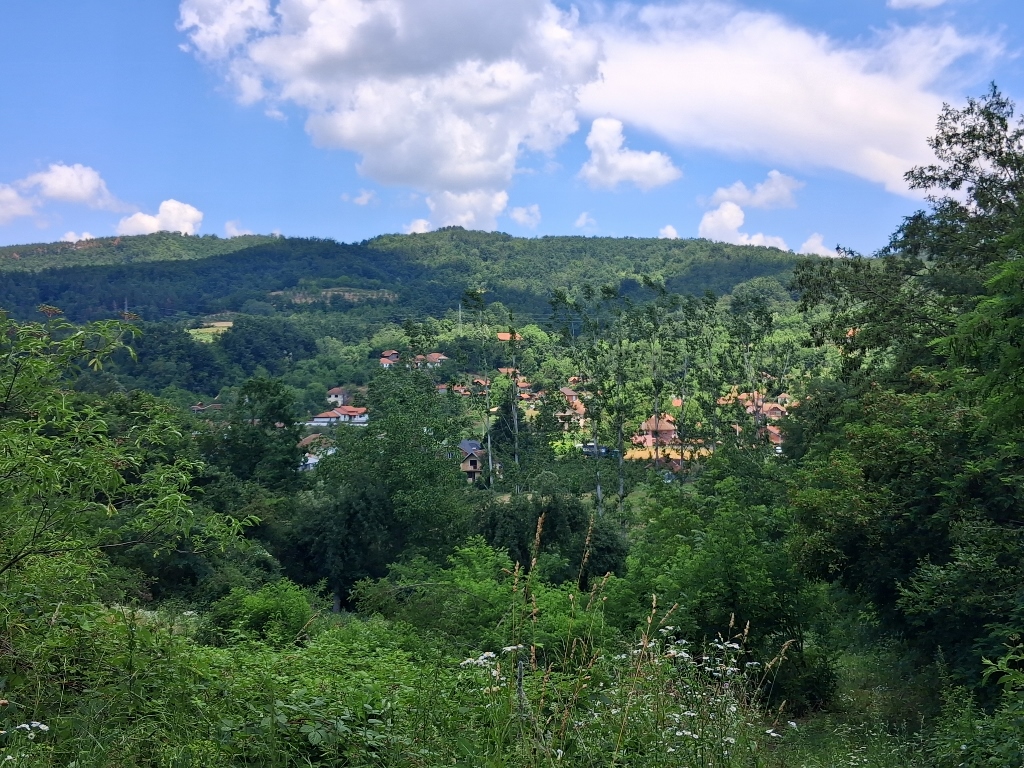 Lepenac, a detail
About 500 m after the Rasina River, you reach the monastery.
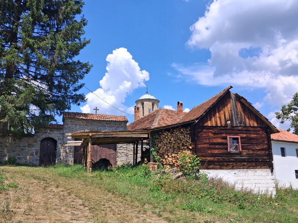 Lepenac, a detail
When I arrived at the monastery grounds, there was absolutely no one around. However, as it turned out, the church was open.
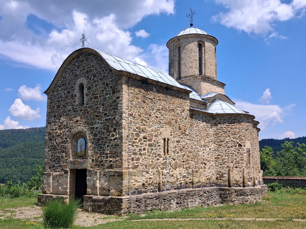 Church of St. Stephen
It is not known who the ktetor of the Church of St. Stephen was, but it is known that its construction began at the end of the 14th or the beginning of the 15th century, in the style of the Morava architectural school.
However, archaeological research has shown that the original construction was interrupted when the walls were only a few metres high. It was later continued, which is why differences in the masonry techniques can be seen.
The church is over 20 m long and has a trefoil-shaped plan. On the walls, except for the western façade, there are five mullioned windows carved in stone.
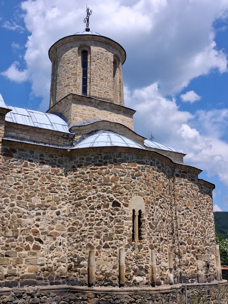 Church of St. Stephen, a detail
During the Ottoman period, the monastery suffered damage on several occasions, being destroyed and burned. The most significant conservation and reconstruction work was carried out between 1968 and 1973, giving the church its present-day appearance.
On the western façade of the church, above the entrance door, there is a lunette with a double frame.
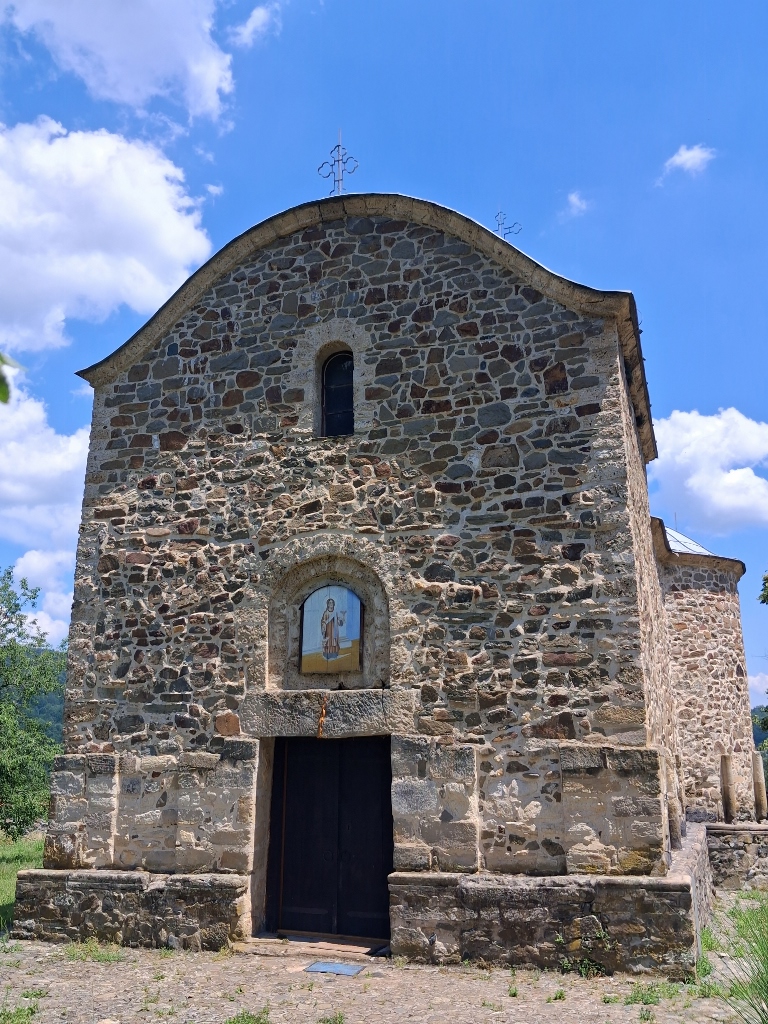 Church of St. Stephen, a detail
When I entered, I discovered that some works was underway, so it was a bit “crowded” in the narthex.
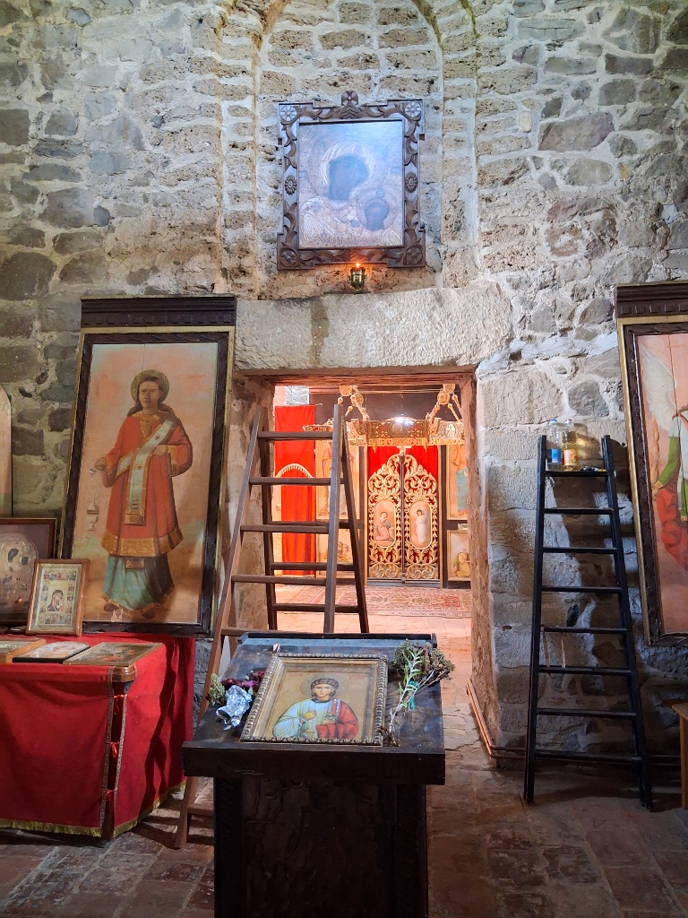 Church of St. Stephen, a detail
However, that did not bother me at all, so I was able to walk around the nave and take a closer look at some of the details.
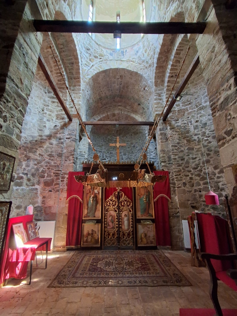 Church of St. Stephen, a detail
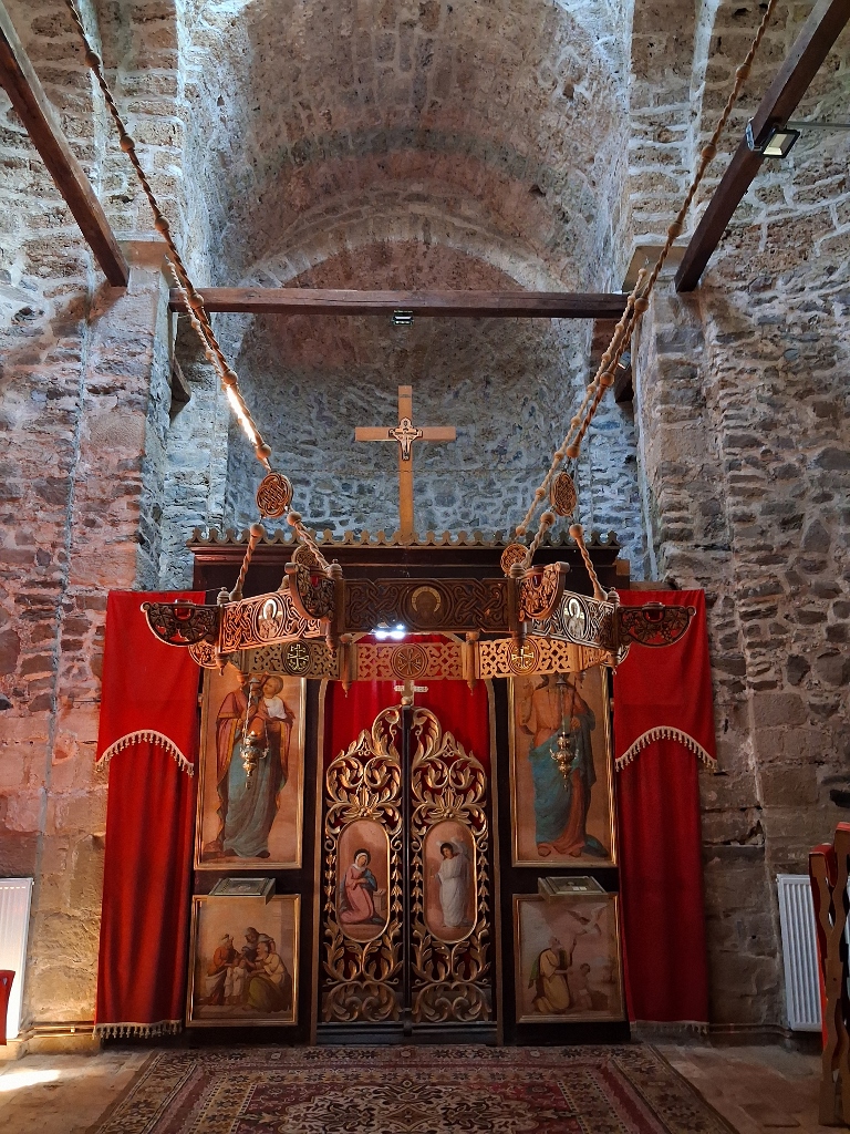 Church of St. Stephen, a detail
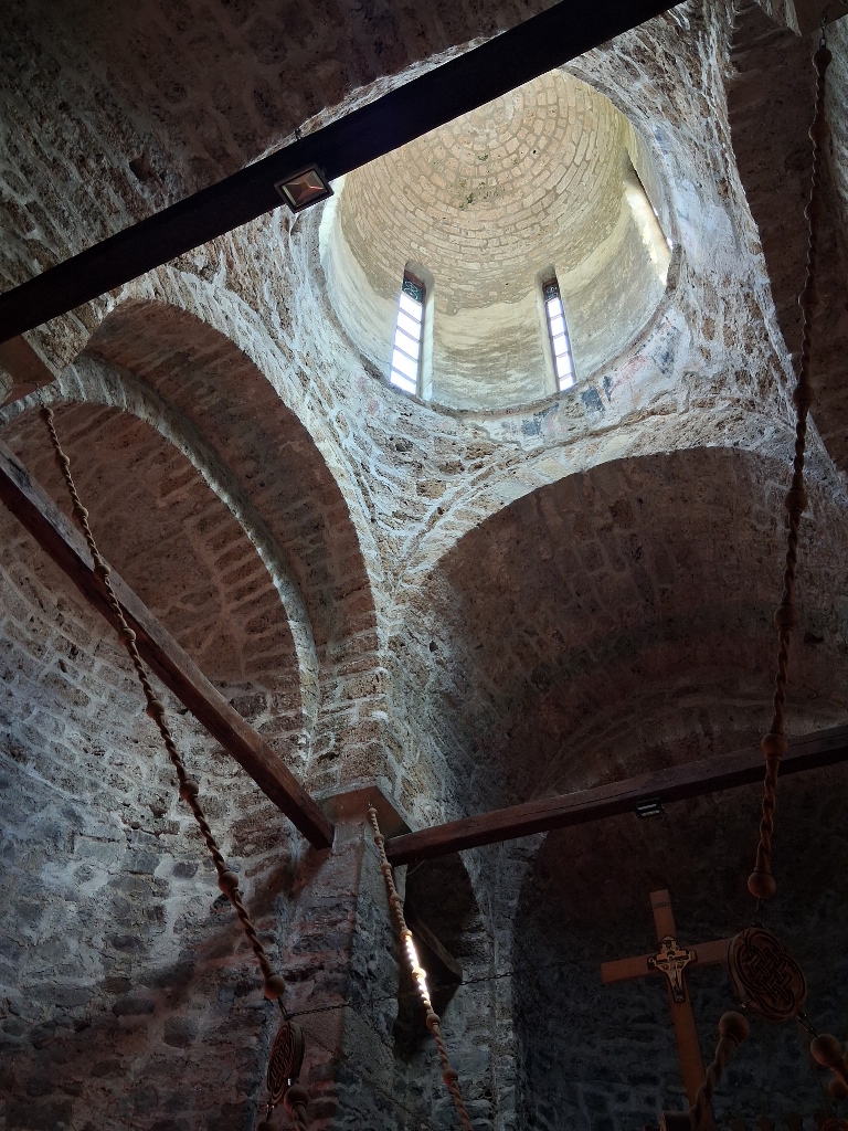 Church of St. Stephen, a detail
The interior was once richly painted, while only fragments of the frescoes have been preserved to the present day. However, these fragments confirm that the church was once decorated in a highly impressive manner.
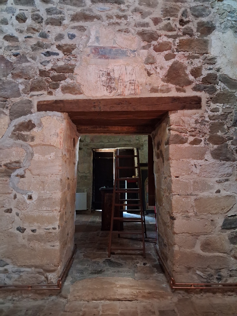 Church of St. Stephen, a detail
After visiting the church, I started making my way back along the same route I had taken to get there. Along the way, I noticed that a hiking trail also passes nearby.
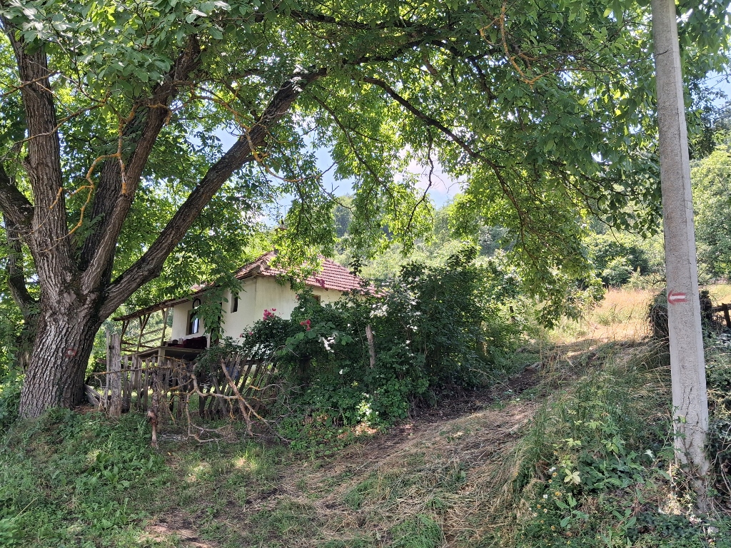 Lepenac, a detail
However, what mattered to me was the path alongside the fields, so that I could reach the bridge that way and avoid having to wade through the Rasina River.
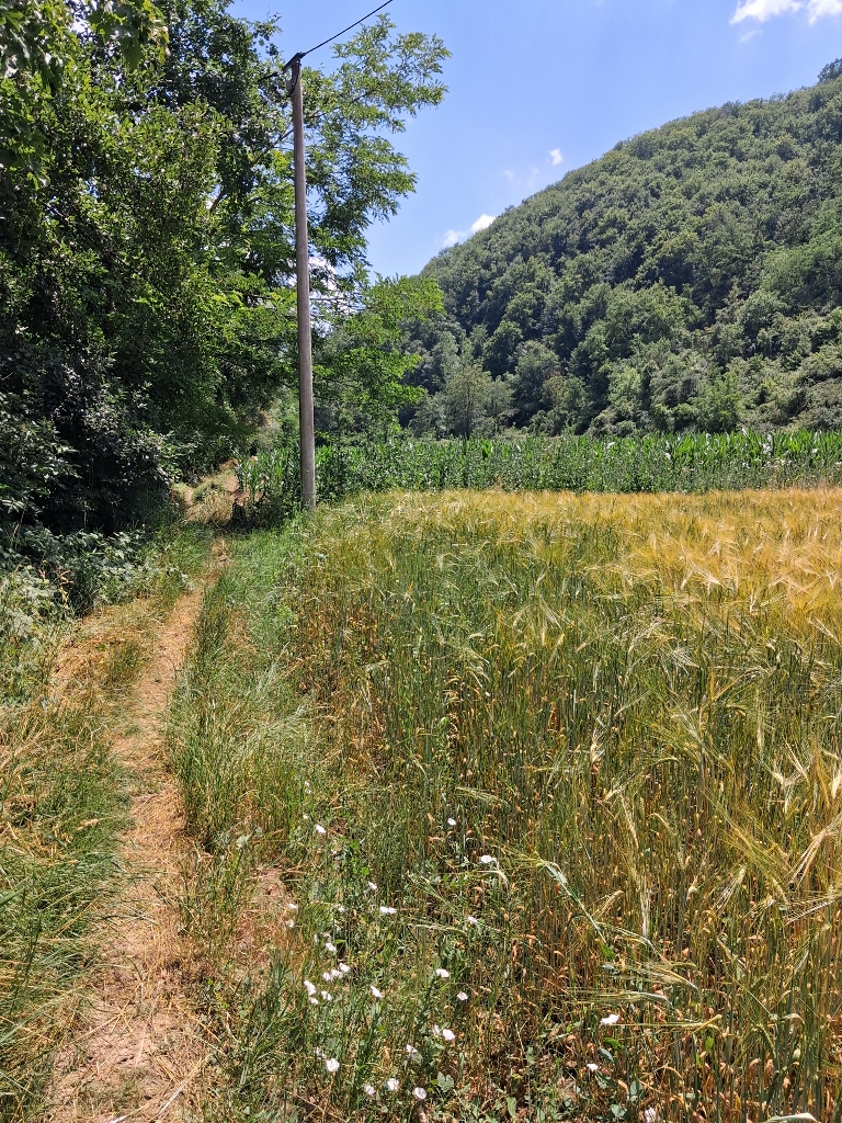 Lepenac, a detail
I now drove back towards Blace, but only as far as a large crossroads where I turned toward Kruševac.
As I mentioned in one of the previous instalments of these stories about my journey through southern Serbia, this road runs alongside and across the Ćelije reservoir. Since I had really liked the scenery when I was driving towards Blace, I decided to stop for a coffee this time and enjoy a little the view of the lake and the surrounding area. It was quite hot, so I did not really want to spend too much time on any more extensive sightseeing.
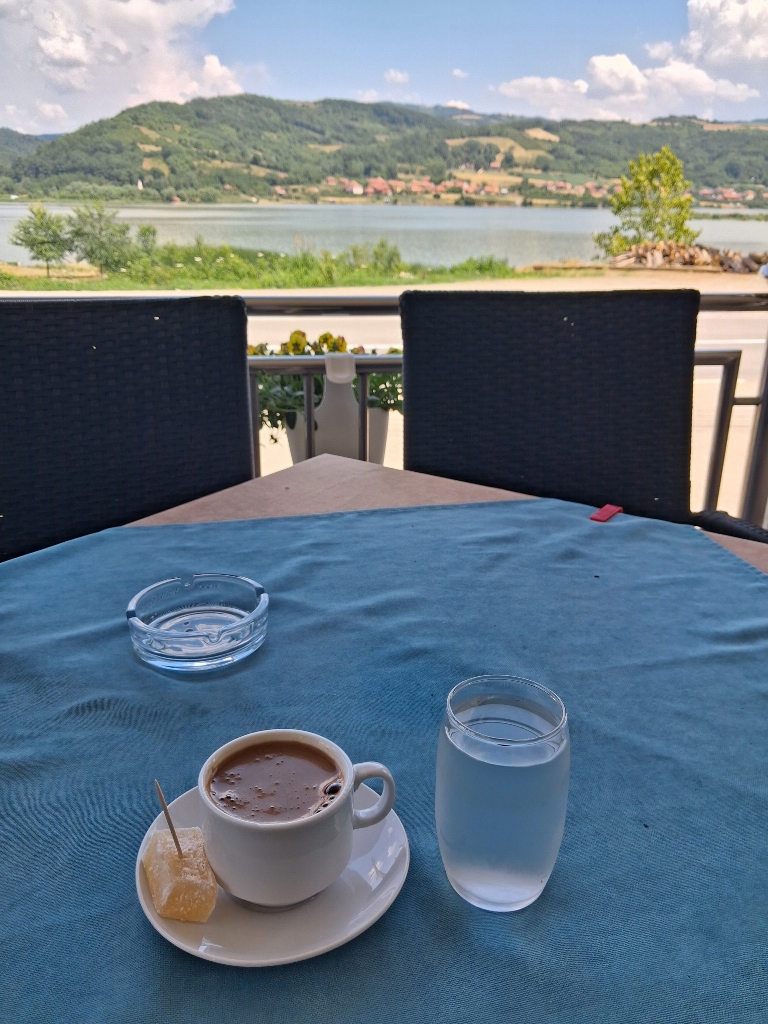 Ćelije Reservoir, a detail
But, let me mention that the reservoir is located near the village of Ćelije, after which it was named. The lake was created by damming the Rasina River, the construction of the dam was completed in 1972, and the reservoir was fully filled in 1979.
The lake is about 12 km long, and its maximum depth is around 41–45 m. It serves as the main source of drinking water for Kruševac and much of the Rasina District, as over time it has been shown that the water quality is exceptionally good.
Various species of fish live in the lake, while more than one hundred bird species have been recorded in the surrounding area, along with a large number of mammals, amphibians, and plant species.
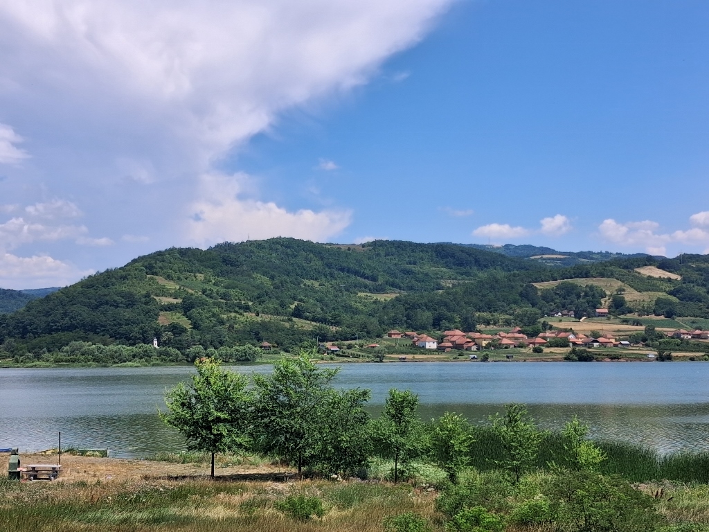 Ćelije Reservoir, a detail
Although tourism is not the lake’s primary purpose, visitors certainly come here, including sport fishermen and it is clear that there is also infrastructure near the shore for controlled barbecuing.
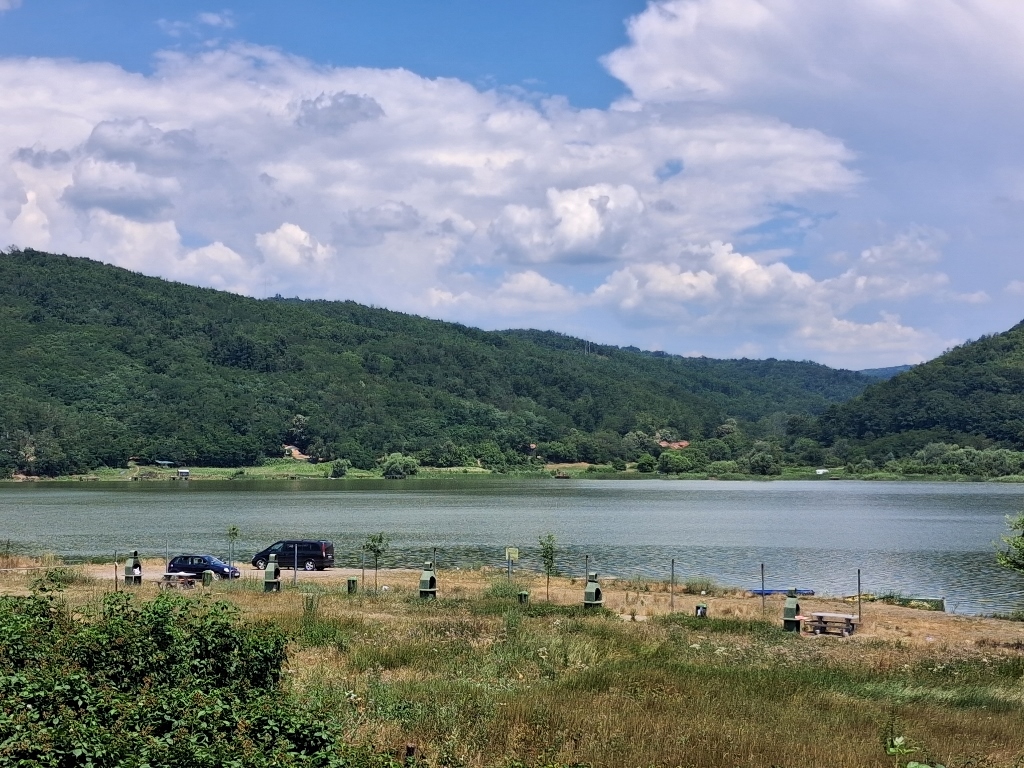 Ćelije Reservoir, a detail
And so, I brought my sightseeing on this wonderful and charming journey to Blace and the surrounding area to an end.
There were interesting places and experiences, there was joyful time spent with wonderful people, there was leisure and all kinds of enjoyment, but now it was time for me to return home. And that is exactly what I did.
Here, as a reminder, is a map showing all the places I visited and everything I explored.