Ajloun Forest Reserve is located some 9 km north of Ajloun city in the north of Jordan and it spreads over the territory that is at around 1200 m above sea level. The reserve covers the area of some 13 square km and in addition to numerous plants, it is also possible to see different wild animals here, including also the roe deer that was exterminated in the past, but has been successfully reintroduced, at least within the reserve.
On the basis of what I read in my guidebooks, and that was the reason why I wanted to come here in the first place, the visits to this reserve were highly recommended, admittedly longer ones than mine. Namely, the reserve has walking trails with the length from 2 km to 18 km and there is also accommodation where visitors can stay. In addition, from the city of Ajloun there is a walking tour to Pella, which was, by the way, my next destination for the day, but by car.
Taking into account the limited time I had on my disposal, I opted for the 2-km walking trail. This is covered in less than an hour, including also the stops for the taking of photos.
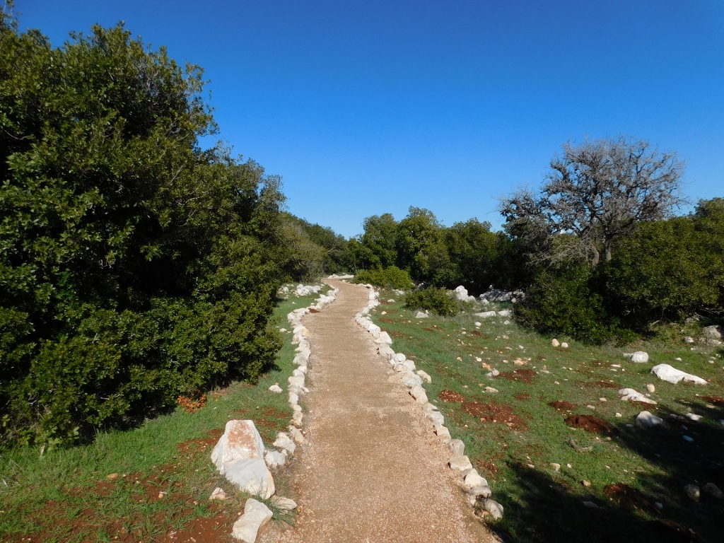 Ajloun Forest Reserve: I have just started with my walk
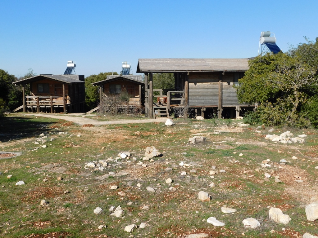 Ajloun Forest Reserve: cabins for visitors
Well, there is not much to say here except that I was very happy to be surrounded by nature and to walk. It was also interesting that I did not see anybody anywhere, apart from a few people at the Visitor Centre where I bought a ticket.
Since the trail was short, it did not take long before I came to a very picturesque tree with a pronouncedly RED bark.
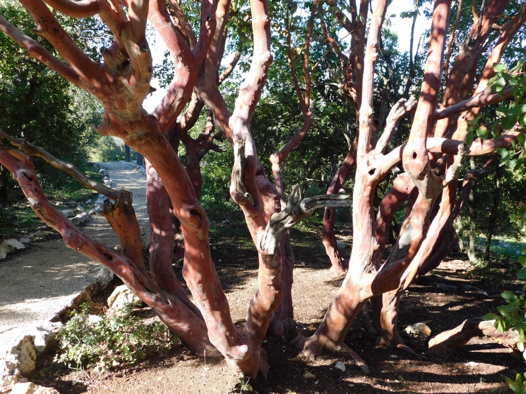 Marina strawberry tree
This was a Marina strawberry tree (Arbutus unedo ’Marina’).
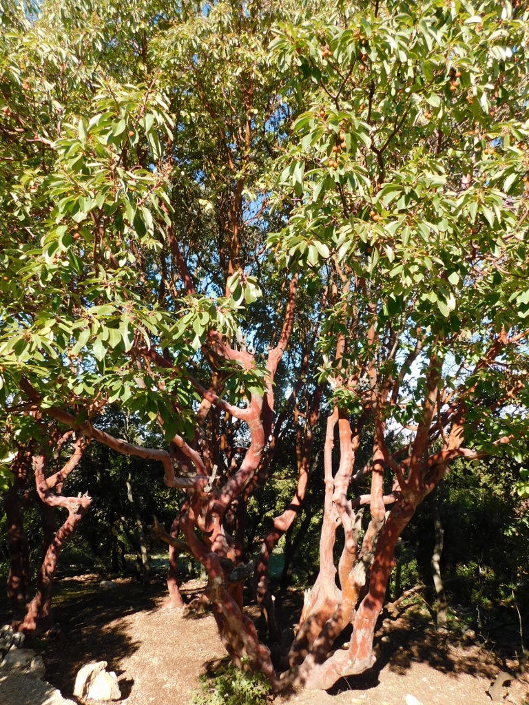 Marina strawberry tree
The reason for a part of its name is that its fruits are reminiscent of strawberries. At least that’s how the story goes.
 Fruits of Marina strawberry tree
At some point the trail leads to a very nice wooden platform that renders a fantastic view at the surroundings.
 Ajloun Forest Reserve and the surroundings
I made a stop there, took photos and then I continued with my walk. There was still a clearly marked trail, but in this section the soil was moist and very sticky, so the mud stuck to my trainers and there was no way I could get it off or avoid picking some more along the way.
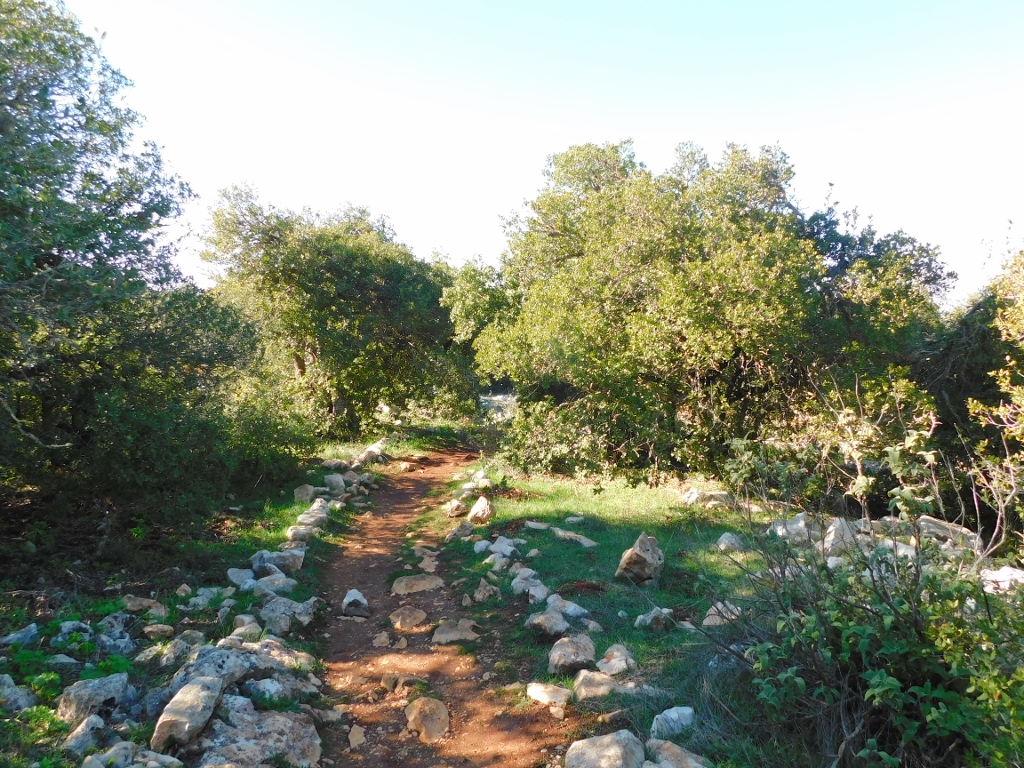 Ajloun Forest Reserve
I must admit that it was not particularly interesting to walk here, especially because after the attractive beginning I did not see anything different along the way. I could hear some birds, but they hid well in treetops. Of course I wished I would, but I did not expect realistically to have an encounter with a roe deer. The only thing that may have had something to do with roe deer was an impression in the mud. Or at least I think so.
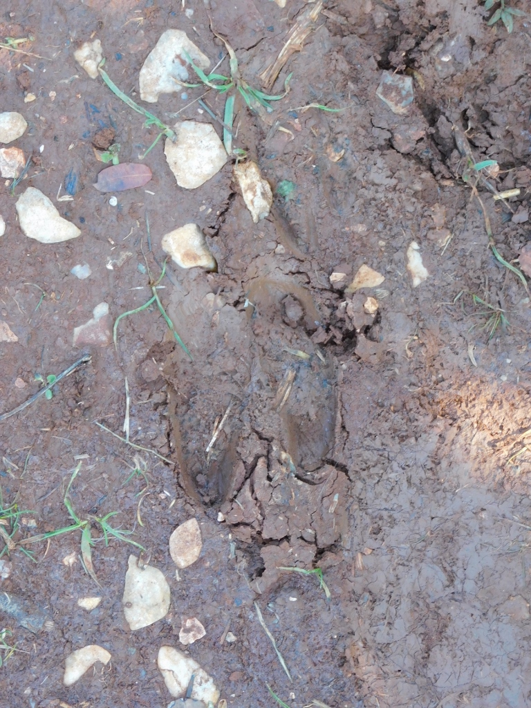 I think this is an impression of a roe deer that passed here
Towards the end I came across some pretty wild flowers and that was it.
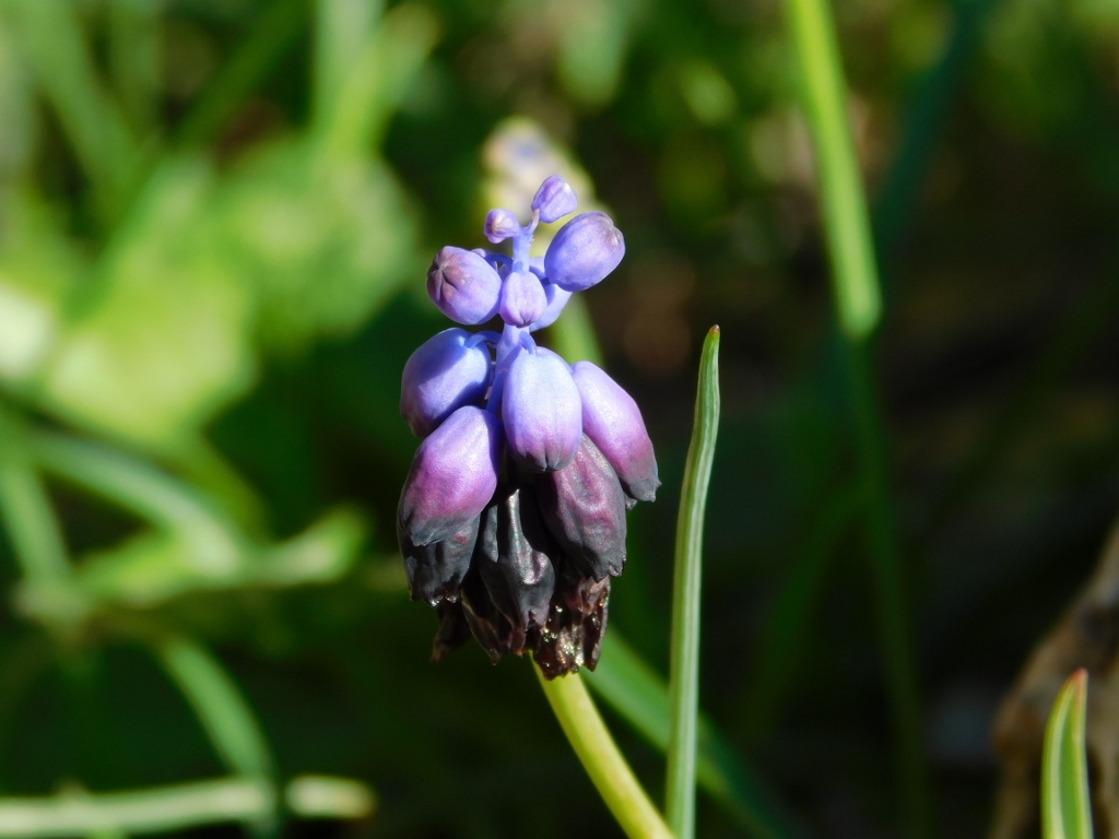 Grape hyacinth (Muscari botryoides)
Admittedly, when I got back to the Visitor Centre, I was seen by a man trying (rather unsuccessfully) to get the mud off my trainers, so he took me behind the Centre where there was a hose, so I could eventually get back to the car with my footwear clean.
My next destination was an archaeological site with remains of Pella, one of the cities that belonged to the group Decapolis that also included Gerasa (present-day Jerash) that I had seen earlier this day.
These remains of Pella are situated close to the modern village of Tabaqat Fahil, but in order to get there first we had to descend to the Jordan river valley.
 View from up high at the Jordan river valley
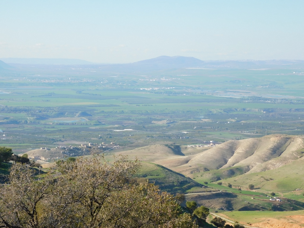 The Jordan river valley
Although, as I’ve said earlier, the driver was very kind and was ready to make stops on our way at places that proved to be stunning viewpoints, it was clear to me that we would never get where we were going if he kept stopping every time I noticed something that I found interesting. That is why I also took photos while the car was on the move.
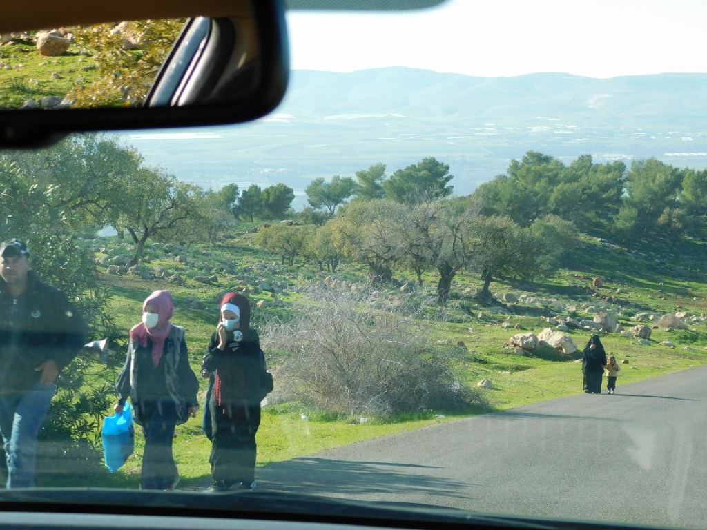 Photos of life along the road
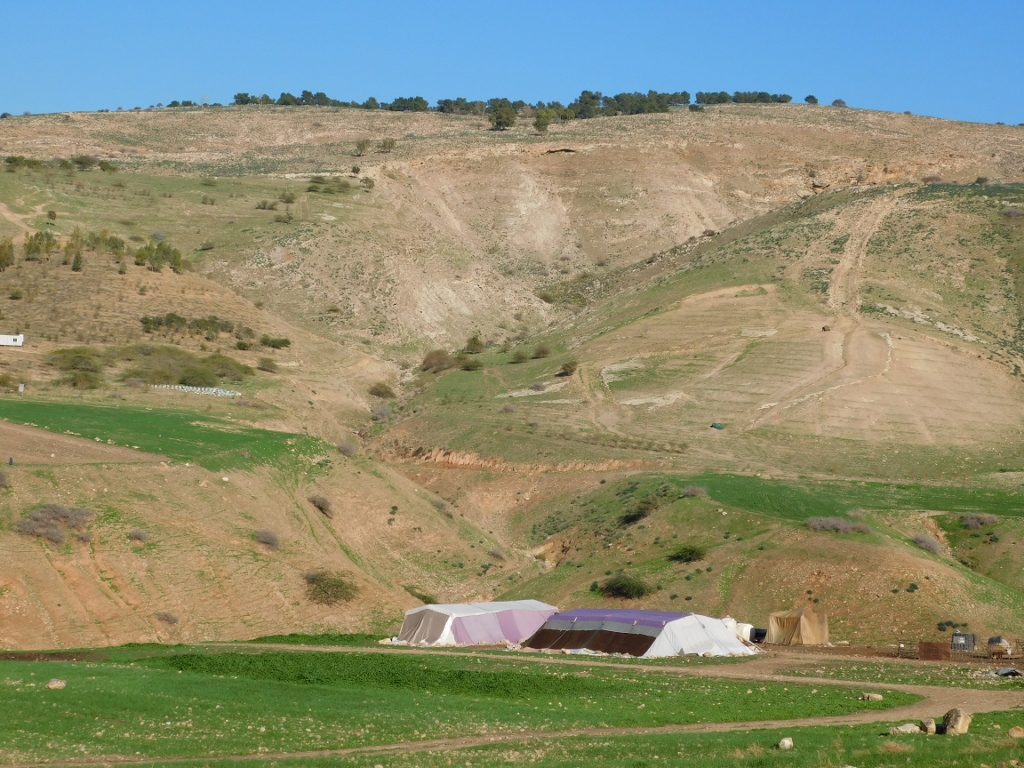 Bedouin tents are an unavoidable part of the every-day life in modern Jordan
But, what enchanted me most were the sights of the fertile Jordan valley.
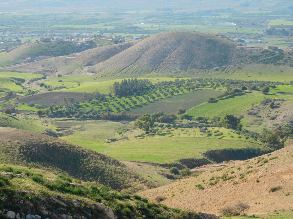 Jordan river valley, a detail
 One more view from up high at the Jordan river valley
When the road reached the flat Jordan valley, it got directly to the main road leading in the north and south directions. We went to the north. Soon we reached the town of Tabaqat Fahil where we turned right at some point and a couple of kilometres farther there was a Visitor Centre where they sell tickets. But, we first entered the site from the lower side, because that was what the signs suggested, but apart from a stone slab with basic information, there was nothing else and nowhere to buy a ticket. I was a little confused, but the driver asked a couple of people we came across and so we learned that the site was officially a little farther away. What would be interesting to see here are remains of the West Church that is on the opposite side of the road leading to the Visitor Centre in relation to that “lower” entrance. But, as there were no signs, I did not even know about this church. Only later I read a little about it, but apparently the modest remains cannot be actually approached and they may only be seen through a barbed wire fence.
Pella, the remains of which are situated on the territory of present-day Jordan, should not be mixed with ancient Pella that is located on the territory of Greece and that was the birthplace of Alexander the Great.
The area of this Pella in Jordan was inhabited already around 7000 BCE and during the Bronze Age the city was called Phihlium. It was only during the Hellenistic period and later under the rule of the Romans and the Byzantines that the place used the name of Pella.
In 635 CE there was the Battle of Fahl fought in Pella in which the Muslim forces prevailed over the Byzantine ones, while in 746/747 the city was hit by a devastating earthquake.
 View at a part of the remains of Pella, the Jordan valley and Israel in the distance, from the elevation where the Visitor Centre is
When I bought the ticket and started with my sightseeing, I must admit that I was not delighted that again I would have to go down the hill because that meant that later I would have to climb that same hill. I was way too tired from the whole day of intensive sightseeing and walking, but there was no other way, so I just proceeded. There were no information boards, but the visit to the site was not complicated. I just went down a clearly marked trail and then I had remains of a temple in the valley, to the left, and remains of some buildings on a hillock, to the right.
 Remains of ancient Pella I am about to visit
Admittedly, to the left from the beginning of the trail, a little farther from the place where I was, I could see remains of some other buildings, concretely of the East Church from the 5th century, but even if I had intention to go there, I would not have been able to because the access to there was closed.
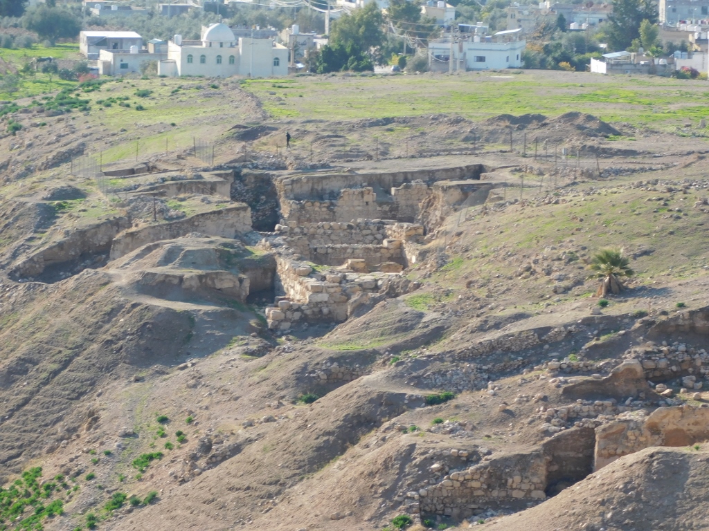
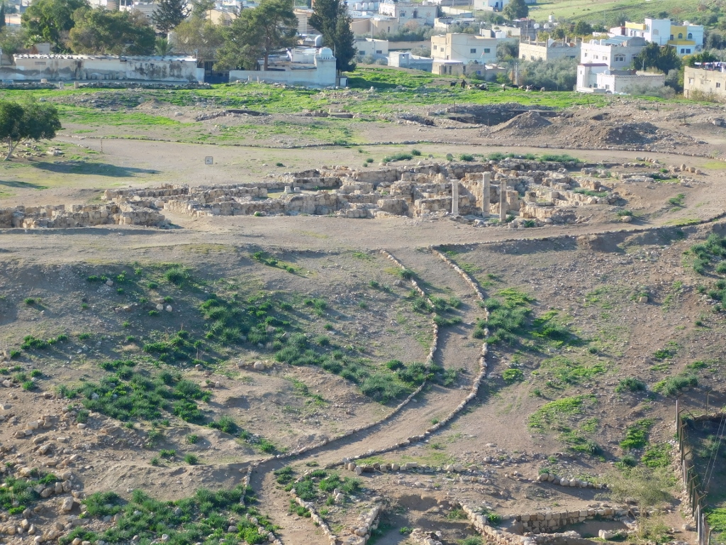
 Parts of ancient Pella
After Umm Qais and especially after Jerash, this all seemed unconvincing, but my impression was that there were still explorations carried out here, so the situation will probably improve in time. Most of what can be seen here today comes from the Roman, Byzantine and Islamic periods (from the 2nd to the 14th century CE).
 Parts of ancient Pella
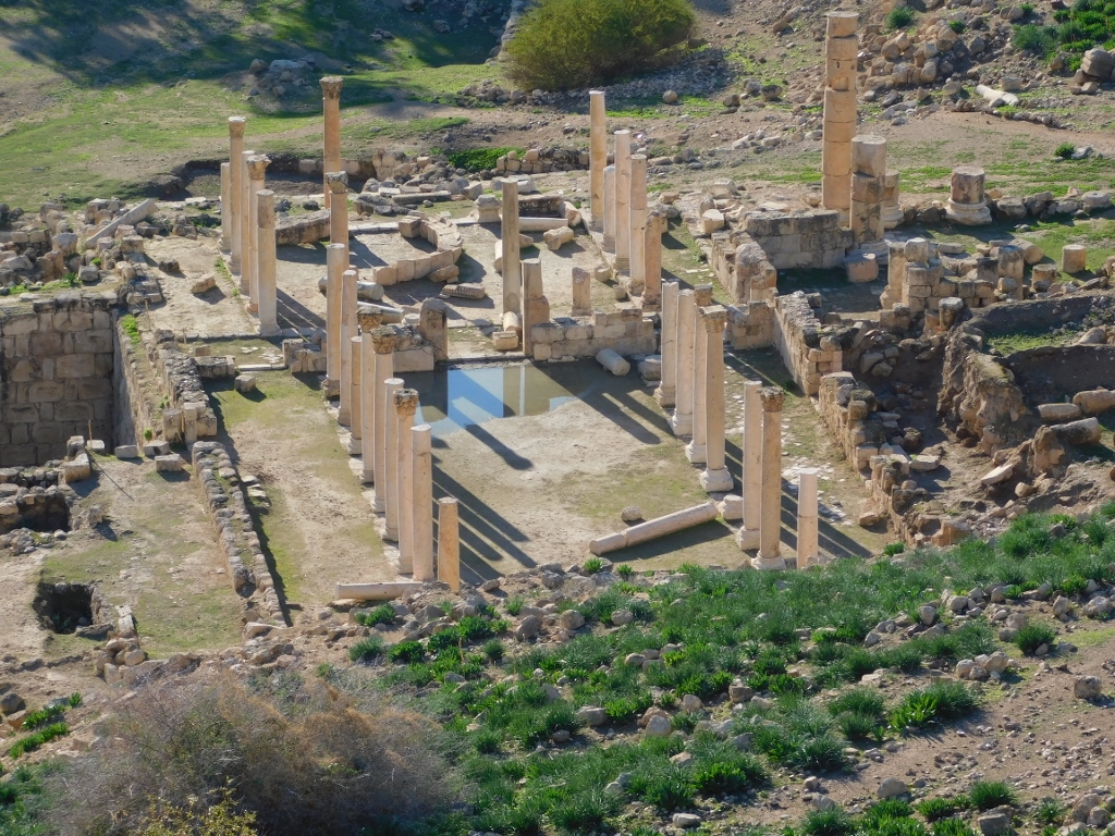 Parts of ancient Pella
 Parts of ancient Pella
 Parts of ancient Pella
This present-day appearance of the remains of ancient Pella that I found so unconvincing does not meant that this was some irrelevant place. Pella, just like the other cities from the Decapolis group, was not founded without purpose and these cities did not thrive without reason. Because of the regional and international trading and trading routes, because of the geography and climate (unlike some cities at greater heights, Pella had pleasant and mild climate for 9 months a year and very high temperatures only during summer), because of the availability of arable land and perennial sources of water, forest and animal resources, this group of cities that I keep mentioning so often (Decapolis) developed shared culture, political and defence systems, and could essentially grow without any hindrance for several centuries. Even later, with the change of the rulers, these cities mostly managed to continue with their development. The earthquakes destroyed them, as well as different armies that came here and moved on, perhaps leaving ruins of ancient cities in their wake, but the life of people continued to develop precisely around these ancient urban centres.
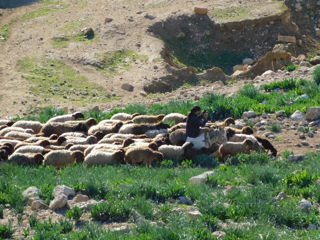
As I slowly descended down the trail, making occasional stops in order to take photos, I saw a flock of sheep that were returning from the daily grazing. I found the modern shepherd particularly interesting as he was looking at something on his mobile phone while calmly riding his donkey.
 Parts of ancient Pella and a modern flock of sheep
 Flock of sheep and a modern shepherd
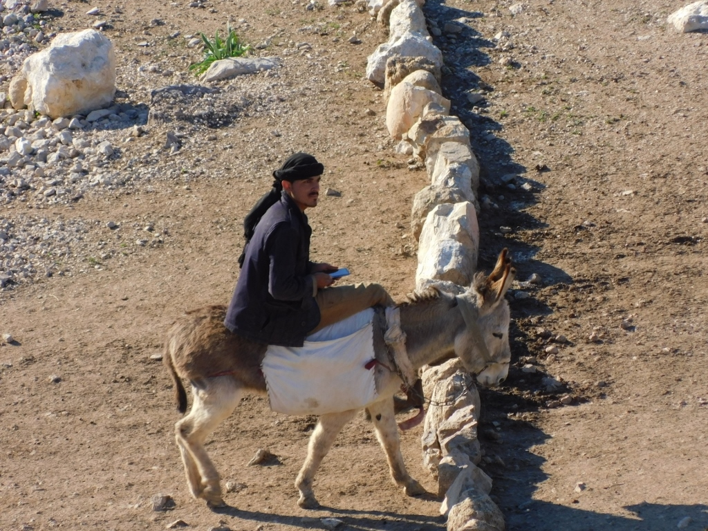 Modern shepherd
The main building and in fact the best preserved one within the ruins is the Byzantine church complex that is often called the Middle Church. As I approached these ruins, I could see rising above it one of the tells that ancient Pella used to spread across, Tell Husn. I have already mentioned that “tell” is a technical term used in archaeology to denote an artificial elevation with a flat area on the top where life went on for generations. As the time passes, the remains and ruins of the former settlements make the height of the elevation grow and consequently a hillock is created.
 Ruins of ancient Pella
When I got to the Middle Church, I just walked around a little taking a few photos.
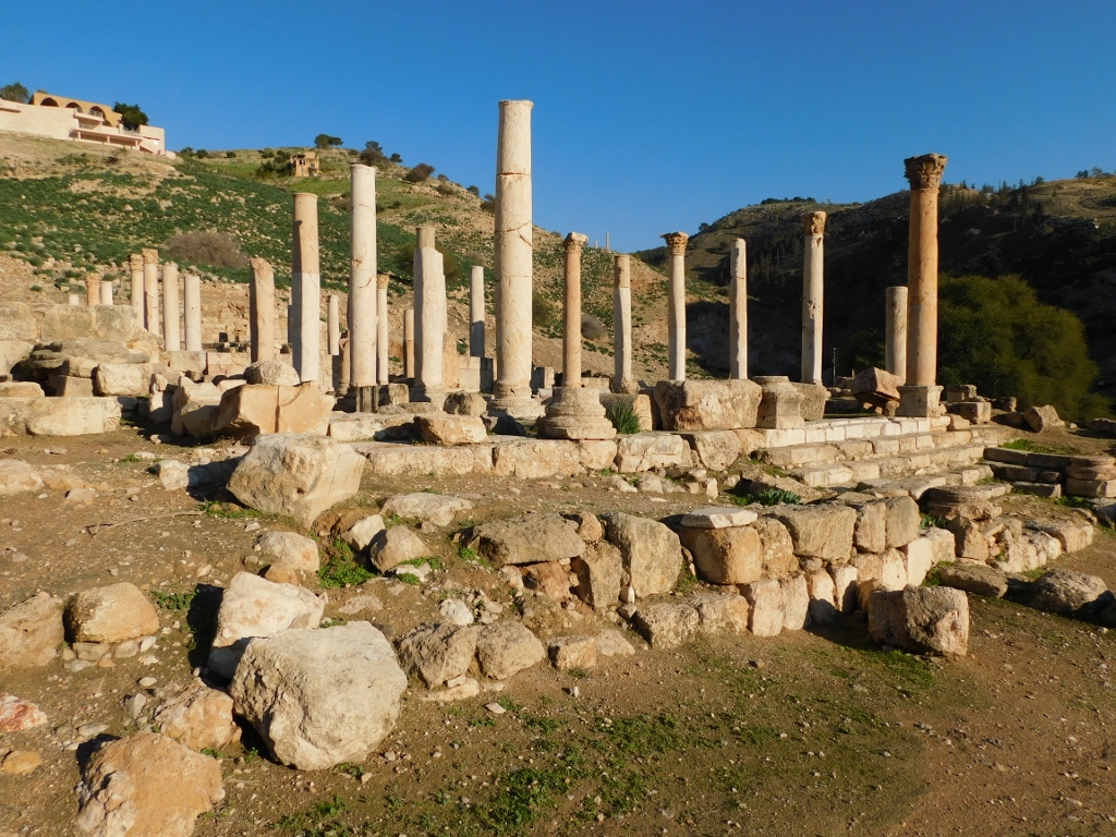 Middle Church
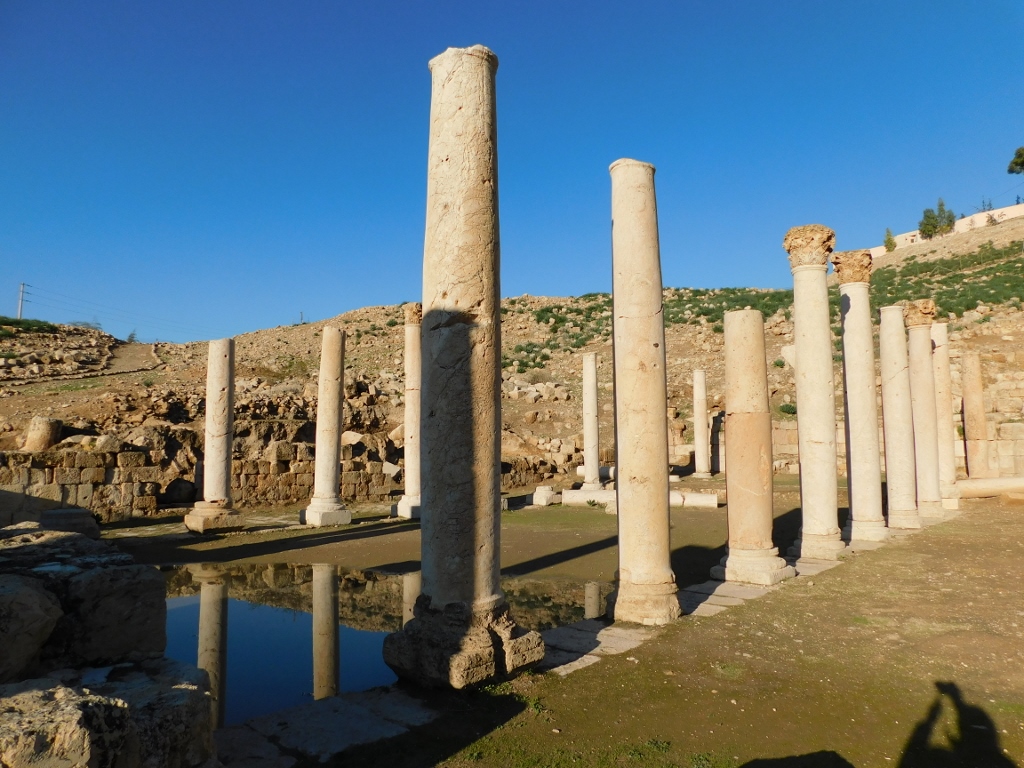 Middle Church
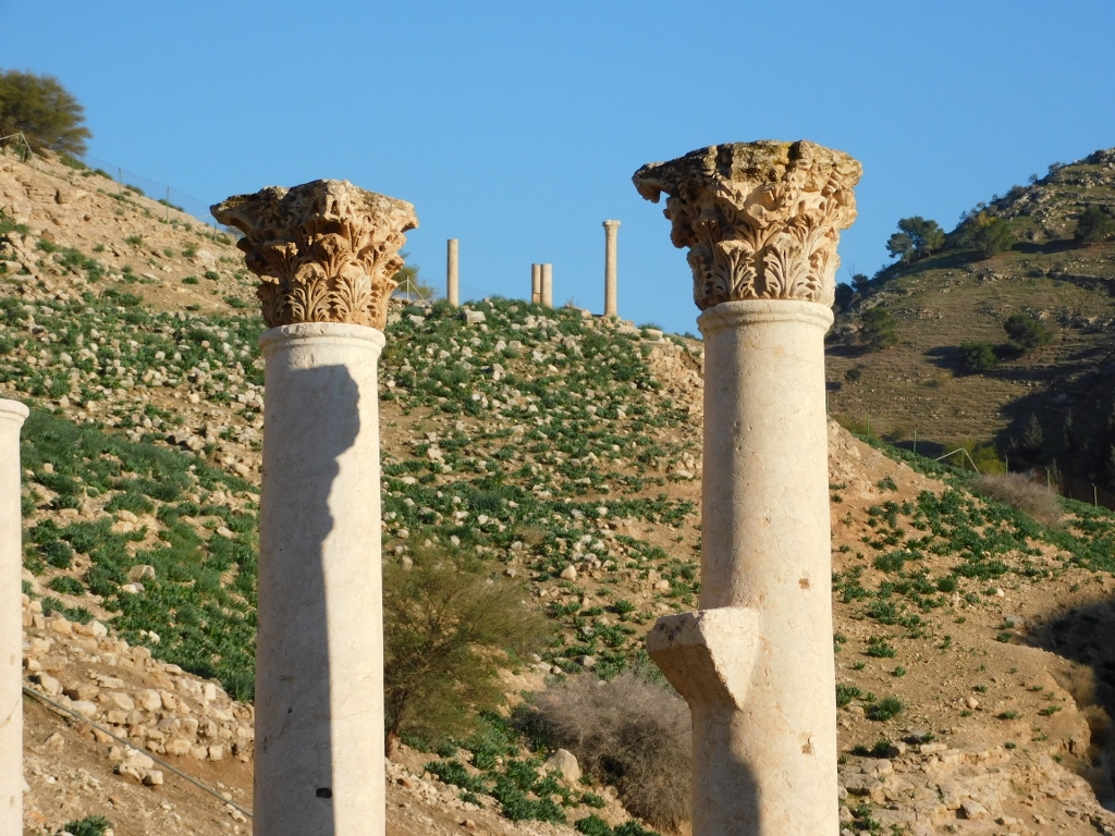 Middle Church, a detail, with the columns of the East Church a little farther away
Near the Middle Church there are remains of a small Odeon, as well as those of a public fountain, but this is all in a rather crumbly state.
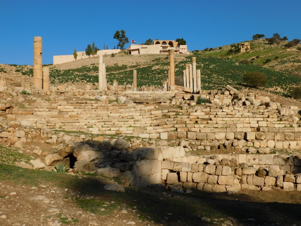 Ruins around the Middle Church, with the Visitor Centre on the hill above
I was no longer interested in walking around the ruins that I knew nothing of, so I went back and uphill a little and then I moved to another elevation with remains of an Umayyad settlement. Still, once again I looked again at the ruins of the Middle Church.
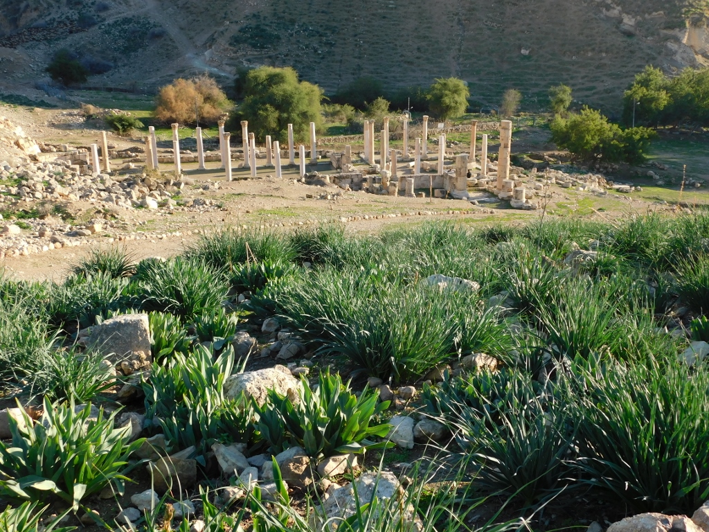 Look at the remains of the Middle Church
As for the Umayyad settlement, it was built on a somewhat lower tell created west from the centre of the city where the Middle Church is. It is mostly possible to see remains of houses, shops and warehouses here.
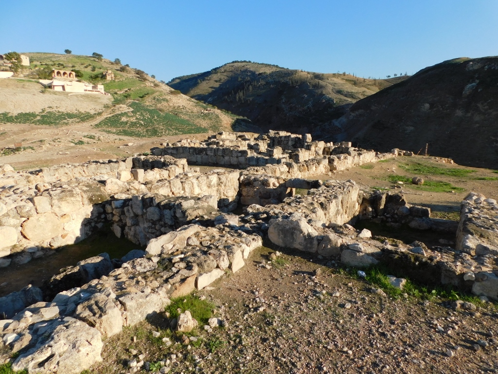 Remains of the Umayyad settlement within ancient Pella
Admittedly, there are also remains of a mosque from the Mamluk period, from the 14th century to be more precise, as well as some ruins with re-erected pillars.
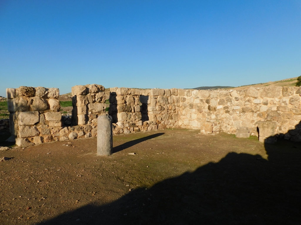 Remains of the mosque from the Mamluk period
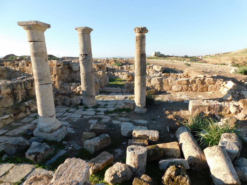 Remains of the Umayyad settlement within the archaeological site of Pella
I also noticed some impressive wild flowers here, but I have no idea what it was.
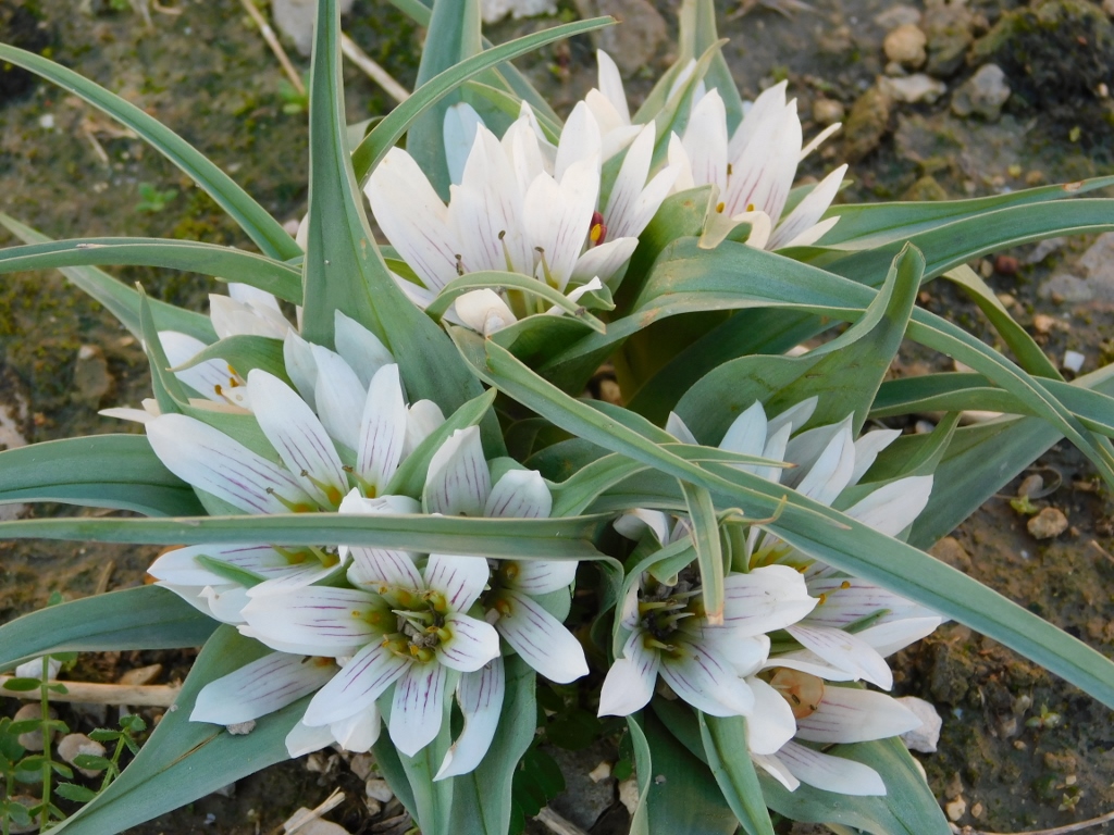 There are all sorts of things within the archaeological site of Pella
And when I reached the edge of this tell with the remains of the Umayyad settlement, once again I enjoyed the beautiful view at the remains of the Middle Church and Tell Husn.
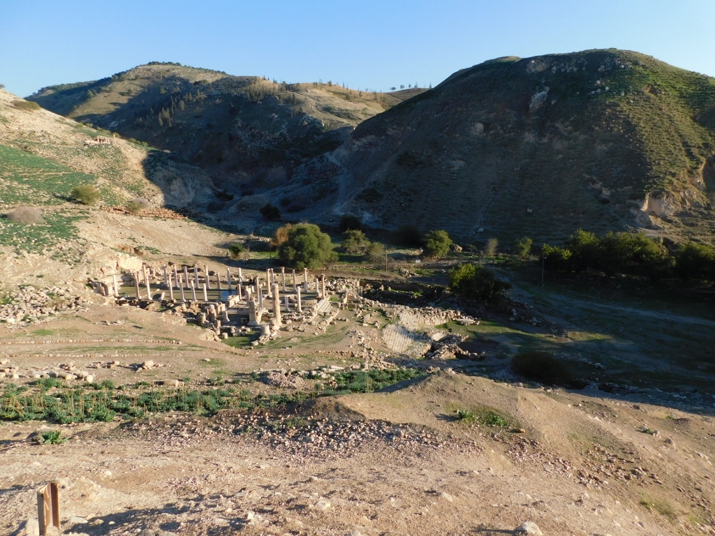 Ancient Pella: Tell Husn is the hill on the right-hand side
And then I saw again another large flock of sheep that was going through the archaeological site. This was obviously the time of the day when the sheep went back to the barn, but I found these sights, lit by the Sun that was close to the setting, very appealing, so again I concentrated more on sheep and shepherds.
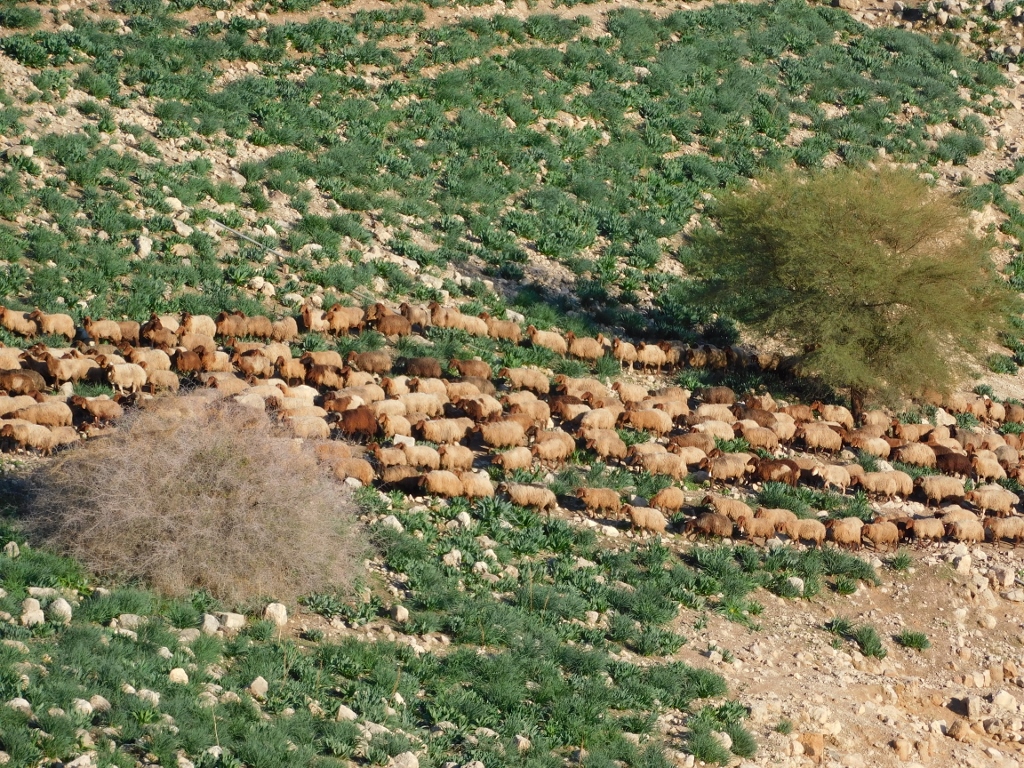 Sheep at the archaeological site of Ancient Pella
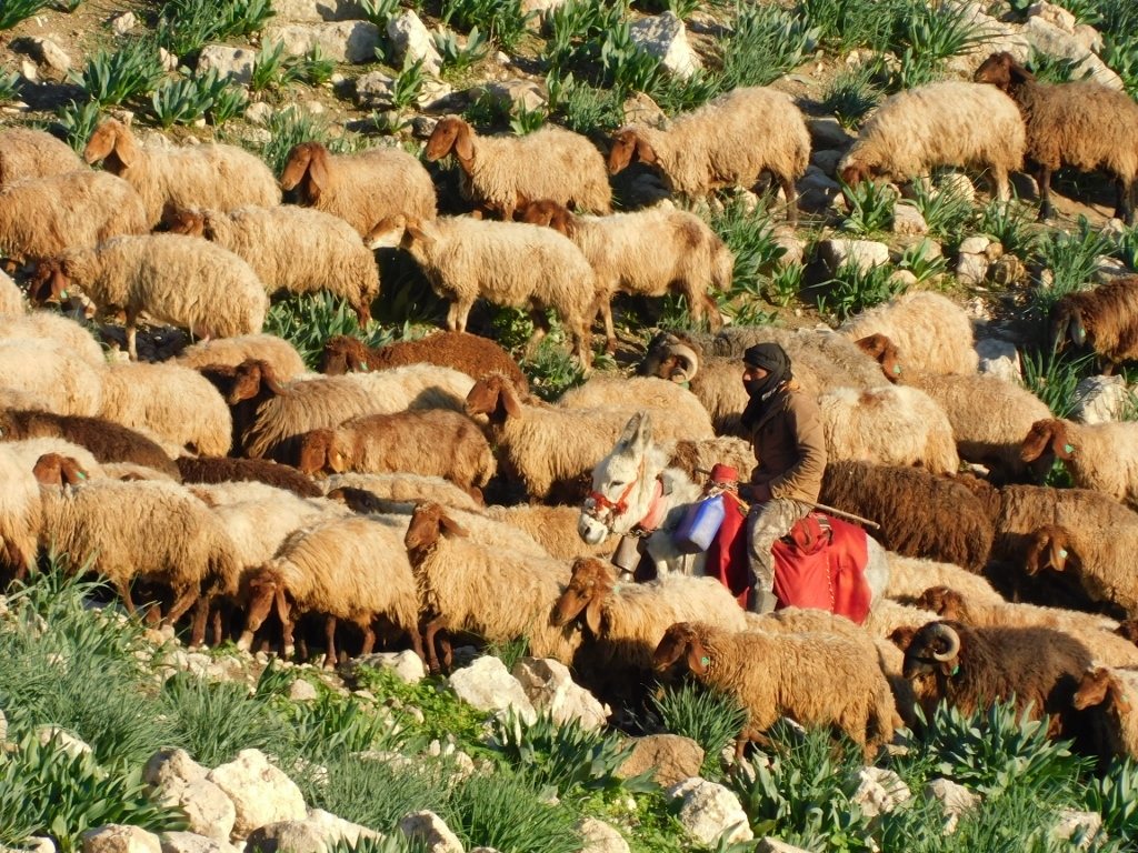 Another flock of sheep and another shepherd
As the flock was large, at some points we met where our paths crossed. I looked at them and they looked at me...
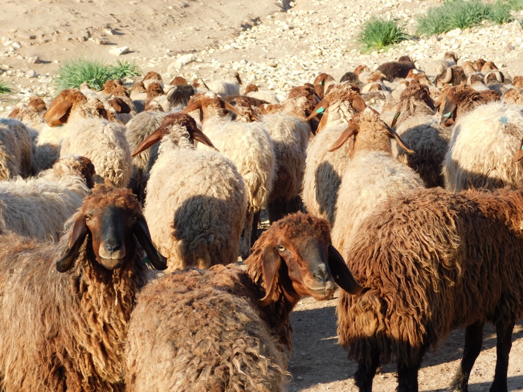 Mutual scrutiny
By the time I went up the trail towards the Visitor Centre, yet another flock came by.
 Flock of sheep at the archaeological site of Ancient Pella
And when all the sheep were gone, their path was now visited by a large flock of birds. They were obviously interested in what the sheep had left behind.
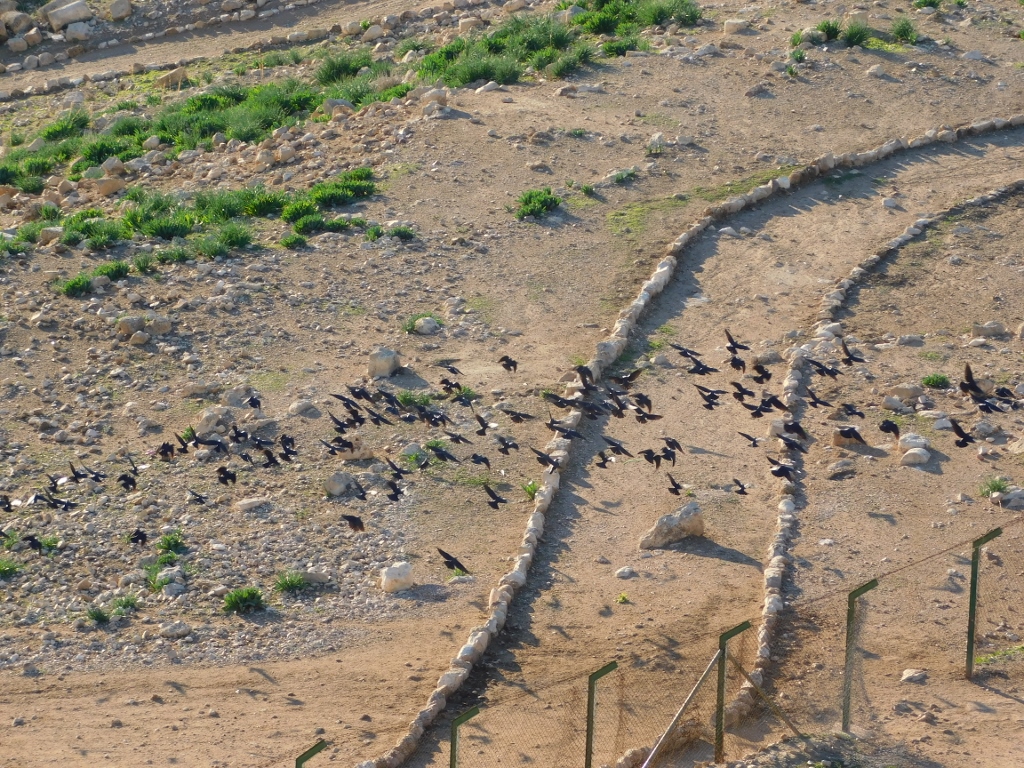 Flock of birds after the sheep at the archaeological site of Ancient Pella
I went back to the car and then the driver and I went down to the main road going in the north-south direction and parallel to the western border of Jordan. There, beside the road, were also numerous plastic greenhouses.
 Greenhouses beside the road in the twilight
Some 30 km south of Tabaqat Fahil we turned left from that road and headed uphill towards the east and Amman. This was a very interesting and eventful day, but in the end I was quite tired and was glad I was going back to the hotel.
After all, I also had to pack and have a good rest since the next day I was leaving Amman and going to the south of Jordan.
The next morning, after breakfast, I got a taxi and transferred to the South Bus Station in Amman. The people in the hotel at which I stayed in Amman seemed a little perplexed that I wanted to take local public transportation and that this would not even be a proper large coach of a locally well-known company. I guess they found it odd that during the previous days I regularly rented cars with drivers, which was by no means cheap, and now I absolutely insisted on taking local transportation that was cheap.
I did not find it odd at all. Namely, I actually love local transportation, almost wherever I travel, while the renting of the cars with drivers was just the question of practicality and efficiency. Now, when I needed to move from point A (Amman) to point B (Karak), it was absolutely normal and most logical for me to do it in the way the vast majority of the local population does it.
So, I got to the station, started dragging my wheelie bag and asked around where exactly the bus to Karak was leaving from. Some people I came across showed me. I bought a ticket from the driver, they put my bag into the mini-bus and told me we would leave in less than an hour. Everything was fine.
While we were waiting, we the few passengers, the driver and the conductor, the driver asked to have a photo with me taken. Why not? But I also asked if we could take the same picture with my mobile phone, so here is the photo. It was taken by the conductor and behind us is the mini-bus that was going to Karak.
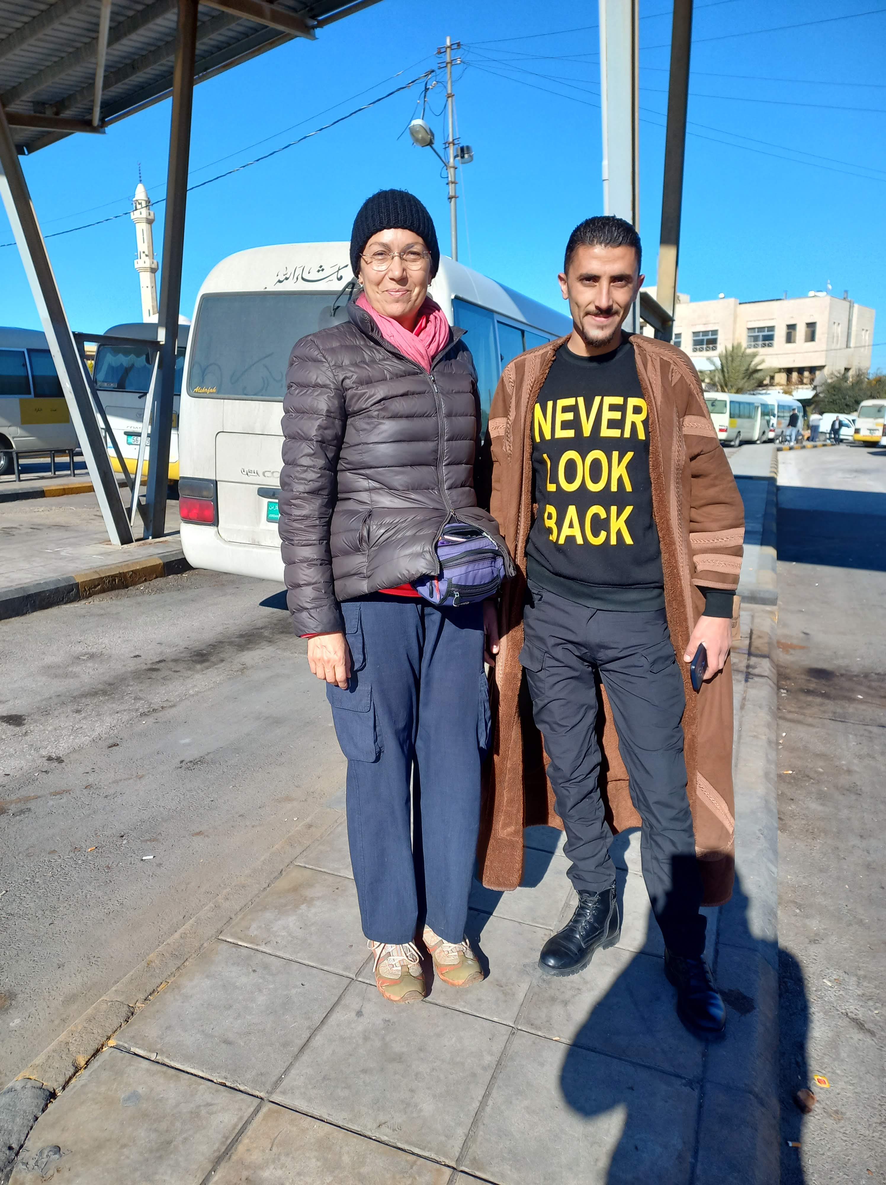 With the driver of the mini-bus at the South Bus Station in Amman
As it may be concluded, irrespective of the bright and sunny day, the temperature was not high. Quite the contrary! I was very well and warmly dressed, while the driver had some kind of a Bedouin coat that is traditionally made of natural fur, although many of the contemporary versions use the artificial one. My impression was that this was a very warm coat.
As for the mini-bus, it was just like all the mini-buses in the world, with addition that the bags went in just like the passengers.
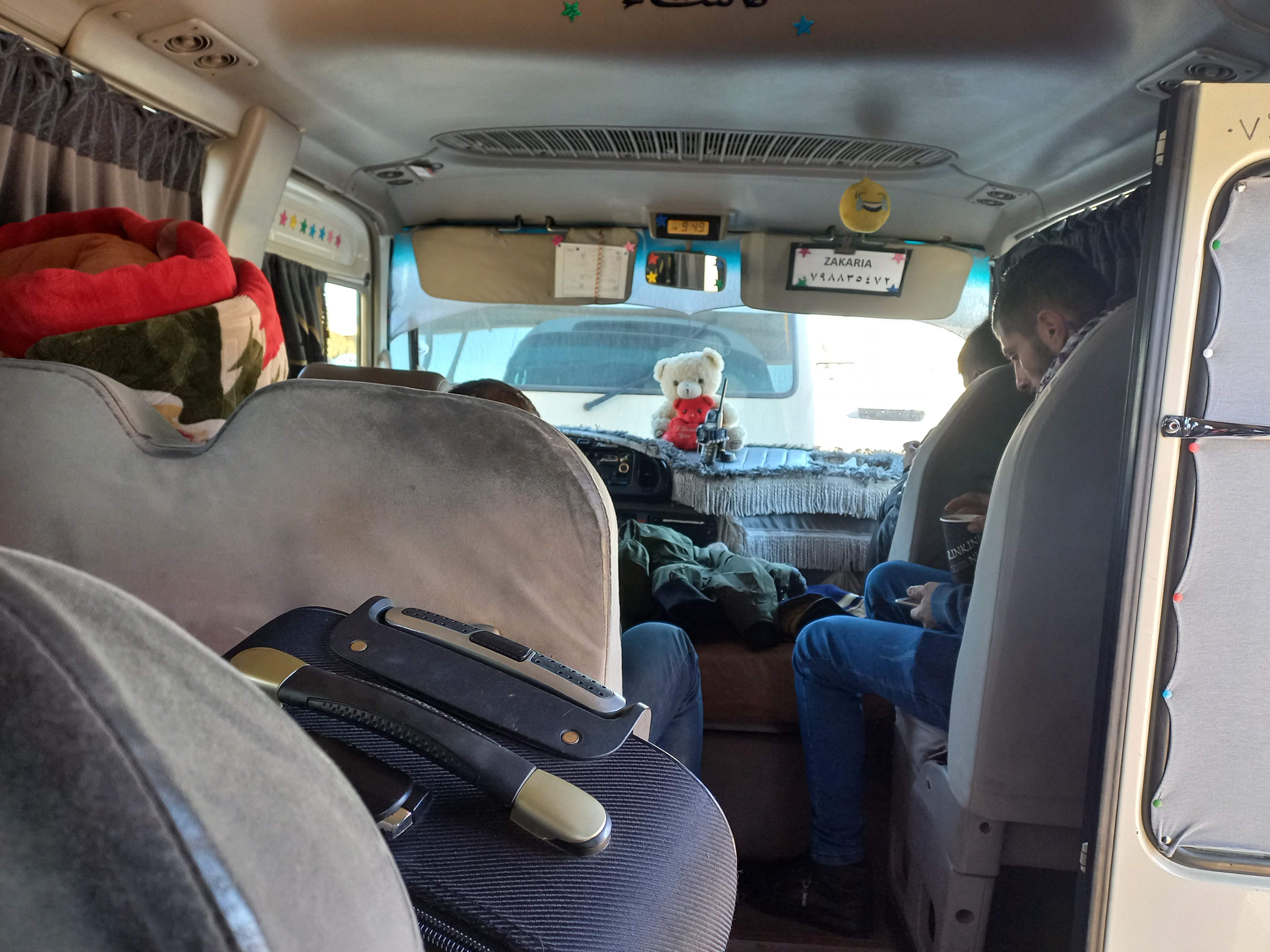 Mini-bus to Karak
But, what I liked in particular was that we left on time. Driving along the King’s Highway in the southbound direction, some 2 hours later I got to Karak.
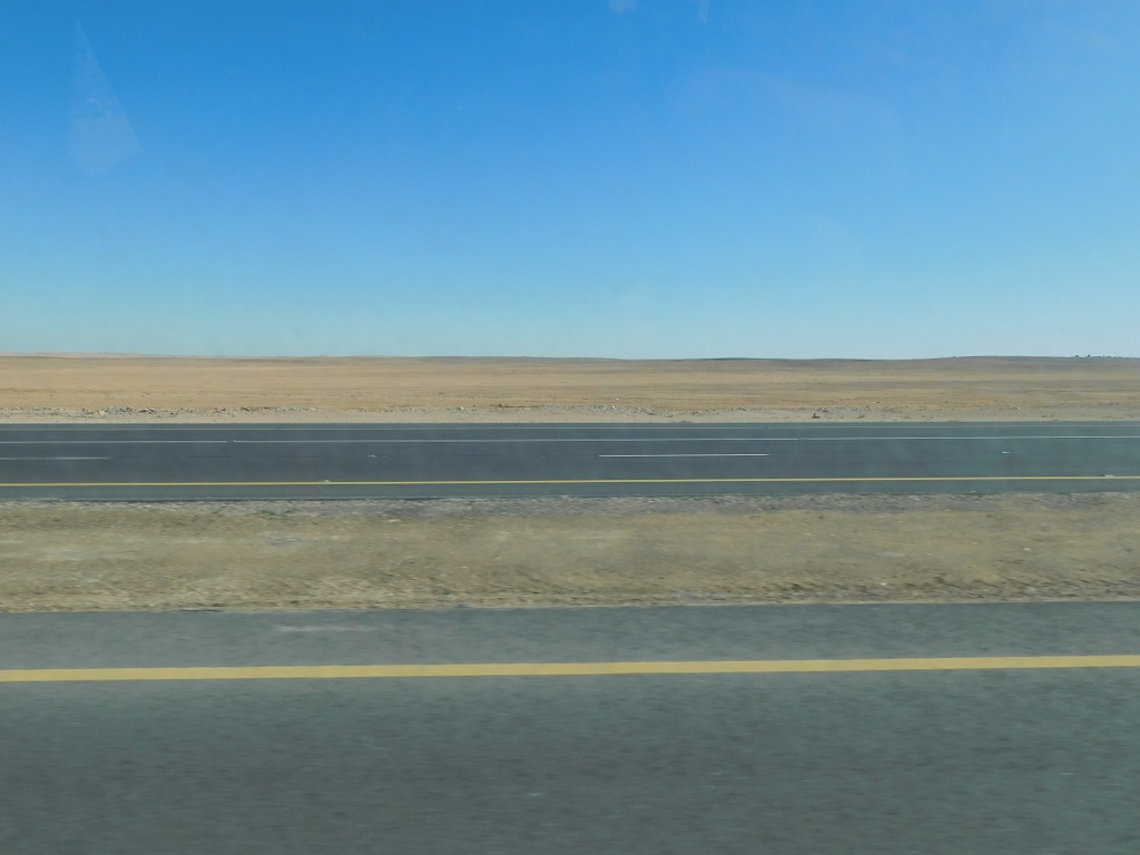 Landscapes beside the King’s Highway